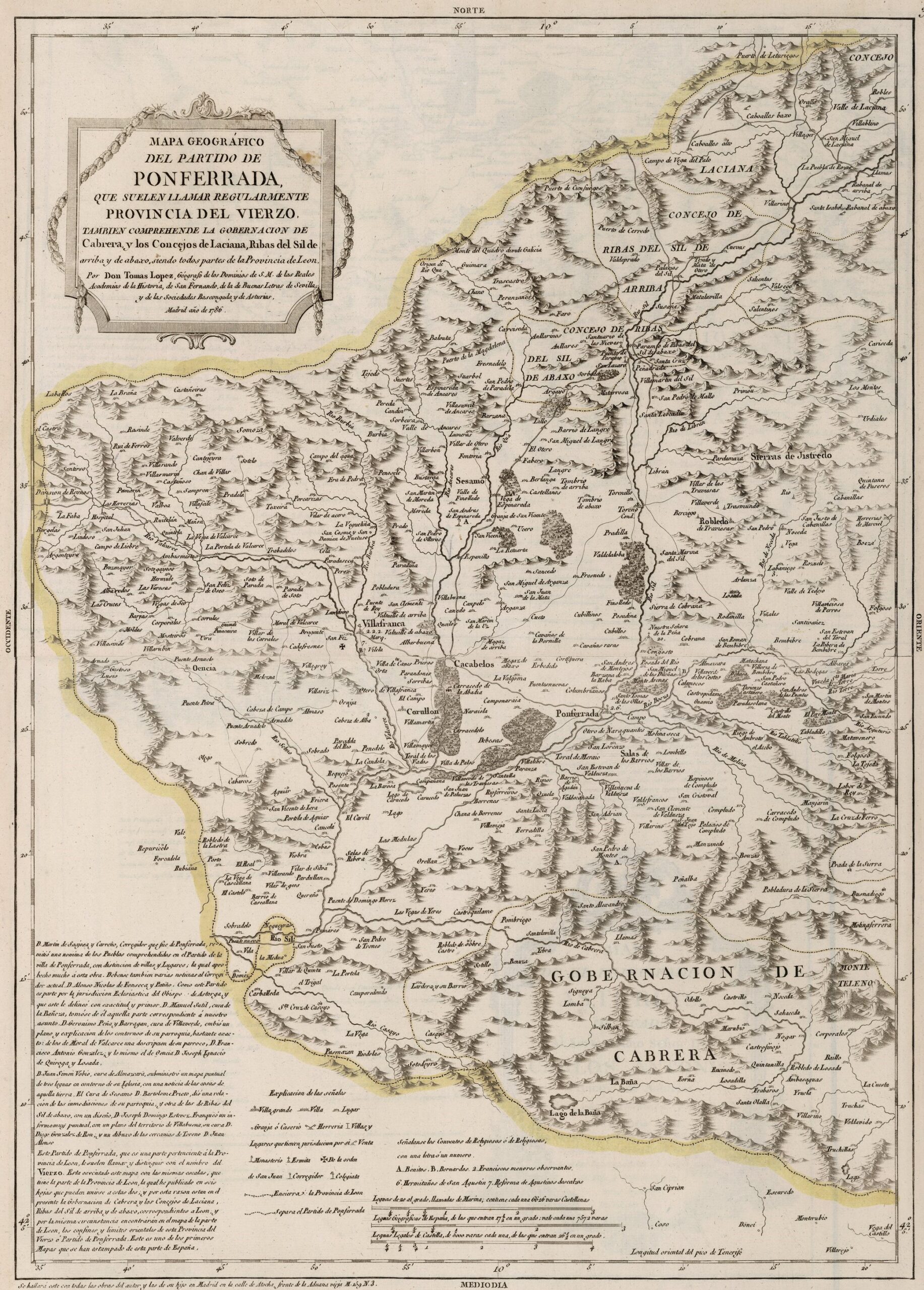
This map was created by Spanish cartographer Tomás López de Vargas Machuca in 1786 and published posthumously by his sons in the “Geographical Atlas of Spain” from 1804. The map depicts the western part of the Province of León with the territorial boundaries prior to Javier de Burgos' provincial administration reform in 1833.
The province of León covered more territory of what this map represents. Unlike other maps by the same author, this work does not specify the other territories adjacent to the mapped territory, which in this case would be the Principality of Asturias to the north, the Kingdom of Galicia to the west and the Province of Valladolid to the south.
As indicated by the author in the upper left corner, the map includes, in addition to the District of Poferrada, the Province of Cabrera and the councils of Laciana, Ribas del Sil de Arriba and Ribas del Sil de Abajo, all of which are part of the District of León.
López de Vargas also clarifies that the Party of Ponferrada is popularly recognised as the Province of Vierzo (or Bierzo, as the region is known today). At the beginning of the 19th century, this territory pushed for administrative independence from the Province of León, and in some of the reforms prior to that of Javier de Burgos, it did achieve provincial status, although this was not permanent.
You can read more about Tomás López and his atlas in this article from the newsletter: Tomás López and the first detailed atlas of Spain (1804).
Sources

