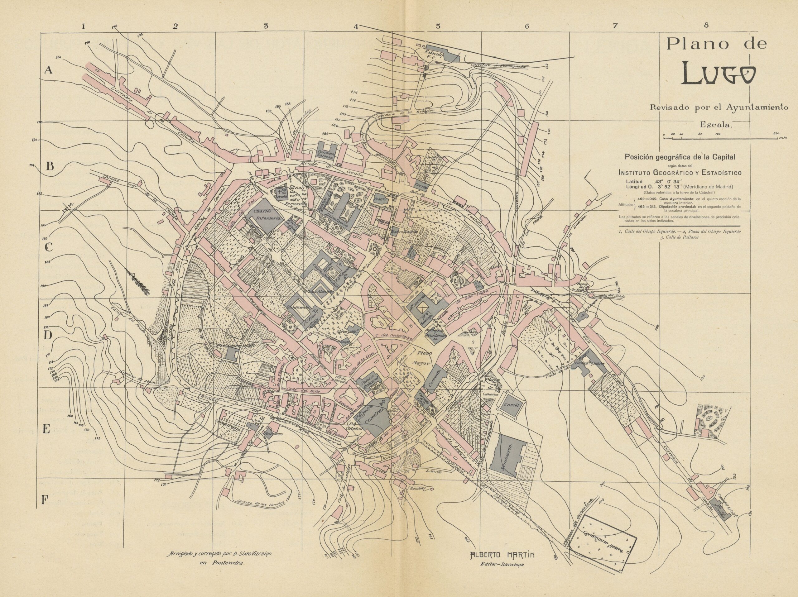
This map of the city of Lugo, in Galicia, was drawn by Benito Chías y Carbó, edited by Sixto Vizcaino and published by Alberto Martín in 1918. It is currently part of the National Geographic Institute's Map Library.
The map shows the size of Lugo at the beginning of the 20th century. It is worth noting that almost the whole of the city centre was still within the Roman wall, around which the different rondas (ring roads) that speeded up communications in the area outside the city walls could already be seen. The preservation of this wall was unusual in Spain, Lugo being one of only three provincial capitals in Spain that managed to maintain the wall, along with Ávila y Segovia.
The map is oriented northeast in the upper area, just where the railway station had been opened a few decades earlier, in 1875.
Sources

