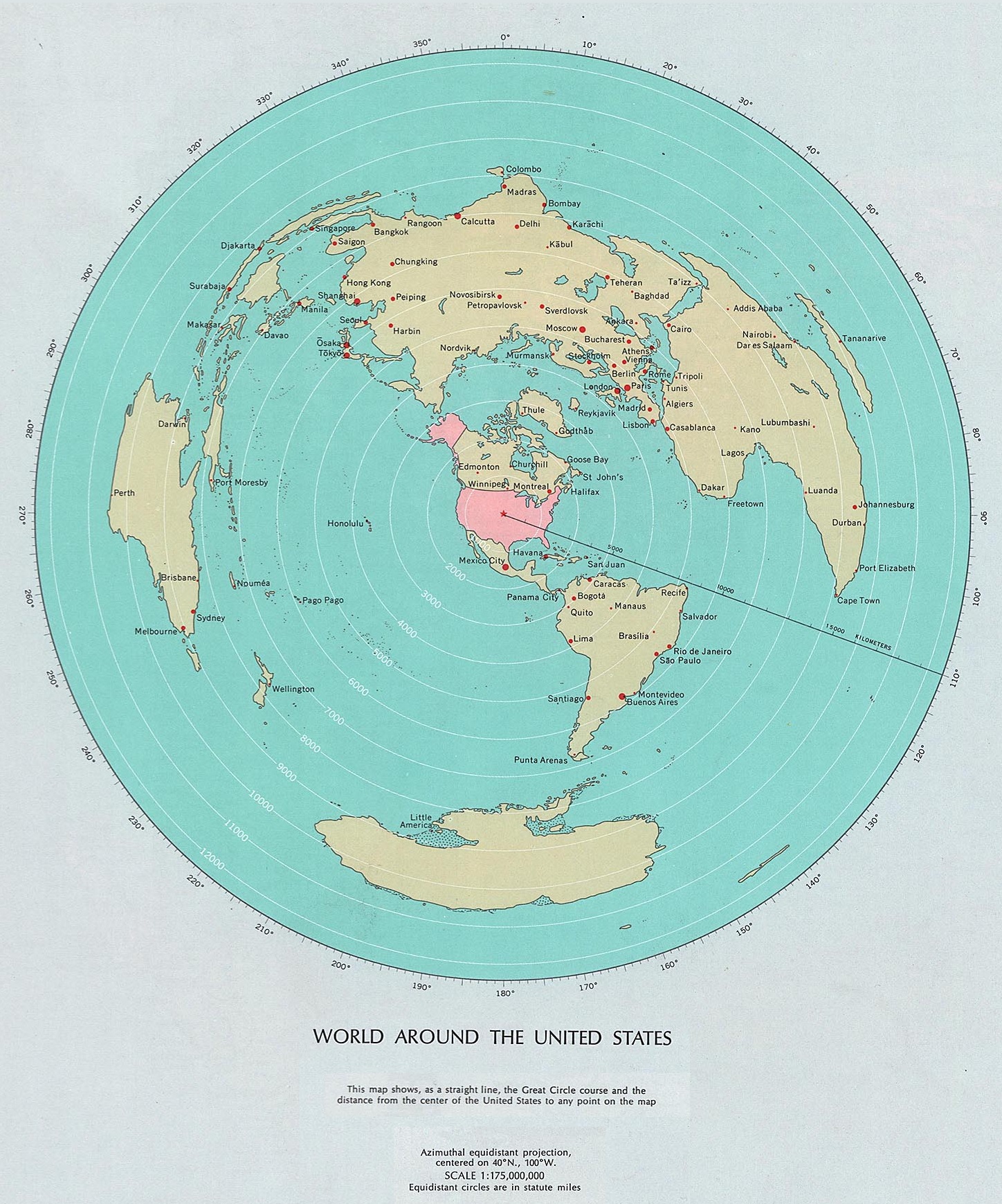
This map was published by the United States Geological Survey in the 1970 National Atlas.
The representation uses an equidistant azimuthal projection with the centre in the middle of the continental United States. The country is coloured pink to differentiate it from the rest of the territories, which are coloured yellow. The concentric white lines show the distance to the centre point in miles, making it easy to quickly gauge how far away the world's major cities are, which are marked in red.
The map aims to be useful in showing the actual distance between the rest of the world and the United States. The complete atlas has more than 200 maps showing different aspects of the country, but it only includes four world maps, this being the first.
Sources
- National Atlas 1970 – The World Around the United States
- The 1970 National Atlas of the United States of America

