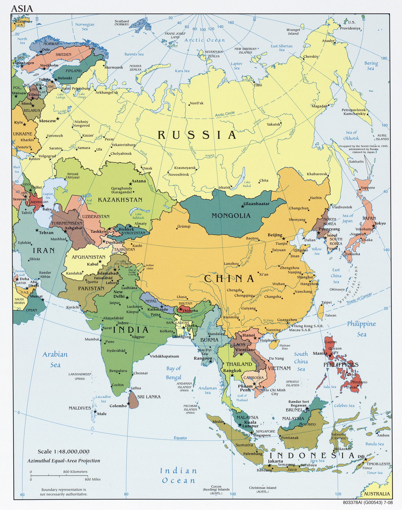
This political map of Asia was published by the CIA in 2009 and is currently held in the cartographic collection at the Perry-Castañeda Library (PCL) at the University of Texas at Austin, United States.
A Lambert azimuthal projection is used for the representation, which preserves the areas of the countries throughout the representation, but the shapes become distorted as we move away from the centre of the map.
Sources

