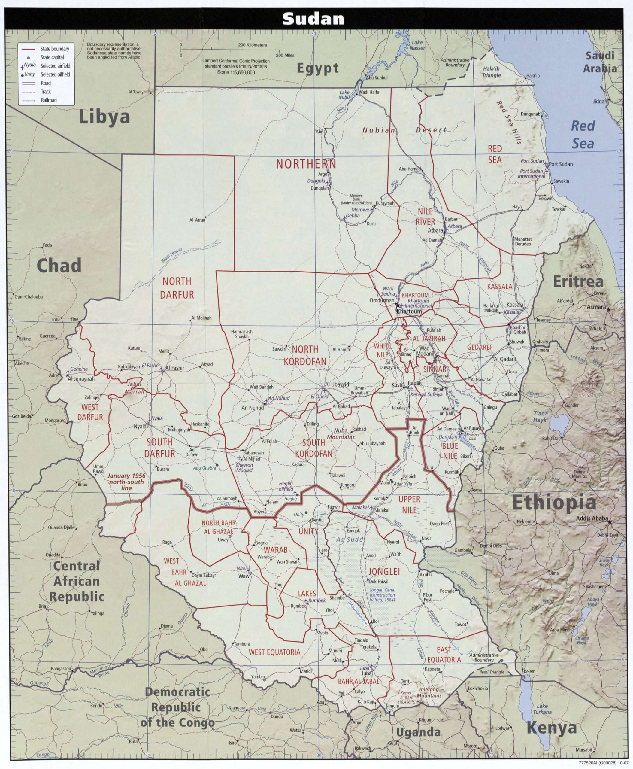
This map of Sudan was published by the CIA in 2007 and is currently held in the cartographic collection at the Perry-Castañeda Library (PCL) at the University of Texas at Austin, United States.
In 2007, South Sudan was still part of Sudan, as it did not gain independence until 2011. Even so, the map already shows the difference between the two states. The map also shows the different provinces of the African country, represented in red; roads in purple; railways in black; and rivers in blue.
Sources

