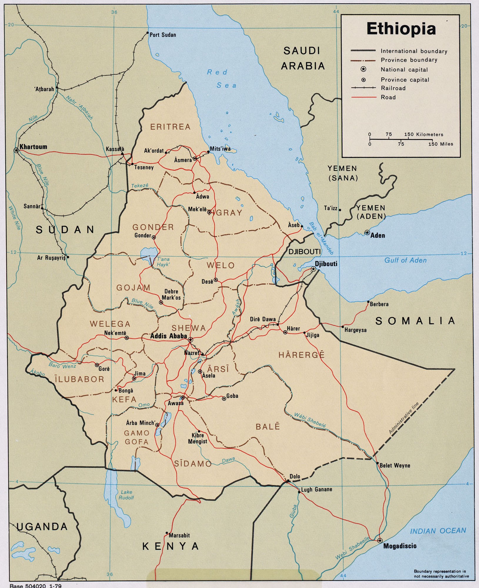
This map of Ethiopia was published by the CIA in 1979 and is currently held in the cartographic collection at the Perry-Castañeda Library (PCL) at the University of Texas at Austin, United States.
In 1979, Eritrea was still part of Ethiopia. The map shows the different provinces of the African country, represented in brown; roads, in red; and rivers, in blue.
Sources

