Physical and political map of Ghana (2007)

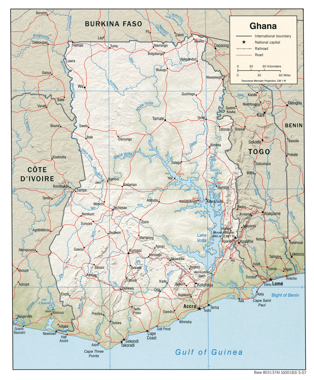
This map of Ghana was published by the CIA in 2007 and is currently held in the cartographic collection at the Perry-Castañeda Library (PCL) at the University of Texas at Austin, United States.

The map does not show any administrative divisions. Roads are shown in red and rivers in blue.

Sources


If you like maps, don't hesitate to sign up for the newsletter (Spanish o English) and collaborate with the project. With the subscription, completely free of charge, you can have access to all the maps in the catalogue in high resolution.

Milhaud Maps Newsletter Newsletter A Cartographer's Tale