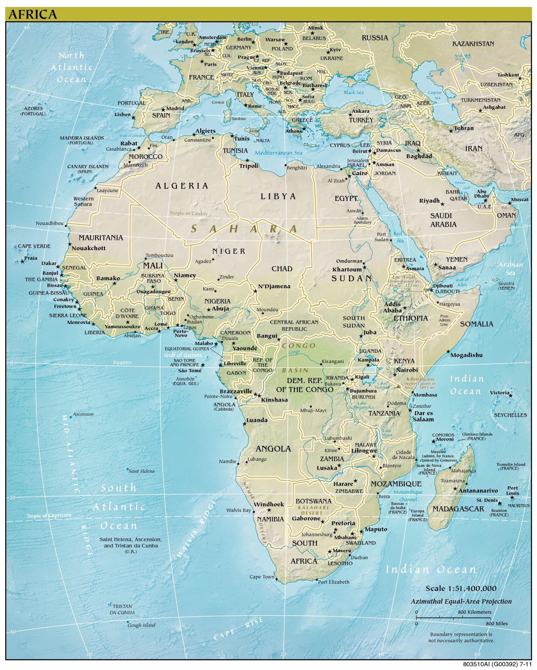
This map of Africa was published by the CIA in 2011, following the independence of South Sudan, and is currently held in the cartographic collection at the Perry-Castañeda Library (PCL) at the University of Texas at Austin, United States.
The map shows the different countries of the African continent, represented in brown. Similarly, various geographical features such as rivers, mountains, deserts and large forests are also represented.
Sources

