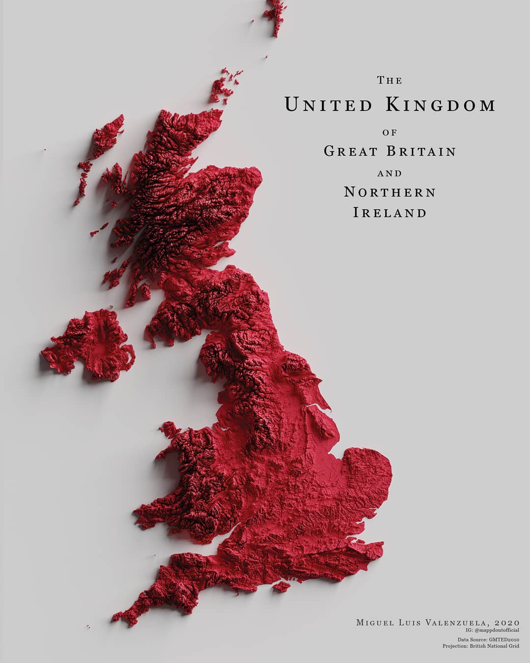
This map, created by Miguel Valenzuela, shows the topography of the United Kingdom. To do this, it colours the entire territory red and then shades it, which highlights the rugged areas.
Sources


This map, created by Miguel Valenzuela, shows the topography of the United Kingdom. To do this, it colours the entire territory red and then shades it, which highlights the rugged areas.
 Español Español
  English (UK)