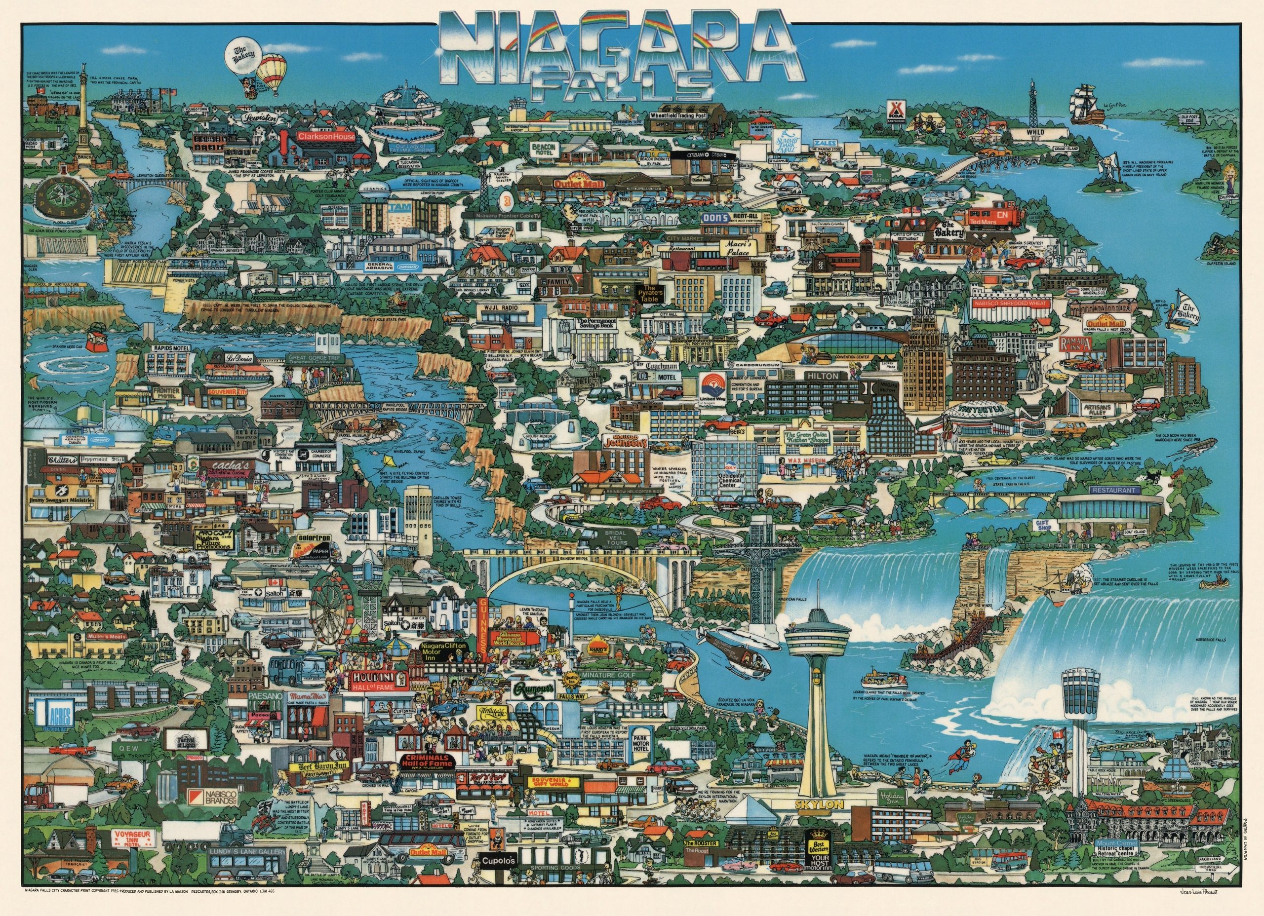
This map, drawn by Jean-Louis Rheault in 1985, shows Niagara Falls, on the border between the United States and Canada. It was published by the publishing house La Maison Descartes, as part of his series of pictorial prints City Character Print.
The artist uses a bird’s-eye view to show the two cities that make up the setting: Niagara Falls, in Ontario (Canada), in the bottom left-hand corner, and its namesake, in New York (United States), in the top right-hand corner. The two cities are separated by the River Niagara, along which the falls are situated; these appear in the bottom right-hand corner of the map.
Numerous hotels, motels, restaurants and other tourist attractions are highlighted throughout the image. This makes it clear that this is a map designed for tourists and also highlights the importance of local advertisers in funding the publisher’s maps.
As a few interesting details, the map also features some well-known scenes, such as the tightrope walker crossing the river from one country to another, as well as the image of Superman saving a child, which recalls the scene from the 1980 film.
Sources


 Español
  English (UK)