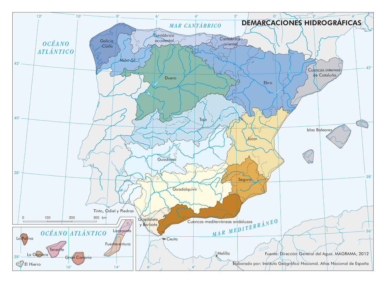
This map, part of the National Atlas of Spain, shows the river basin districts of Spain. River basin districts are administrative regions in Spain that include one or more neighbouring river basins, as well as the groundwater and coastal waters associated with these basins.
Spain recognises a total of 26 river basin districts, all of which are shown on the map:
- Galicia coast
- Western Cantabrian Sea
- Eastern Cantabrian Sea
- Miño-Sil
- Duero
- Ebro
- Internal river basins of Catalonia
- Tajo
- Júcar
- Guadiana
- Safe
- Guadalquivir
- Guadalete and Barbate
- Andalusian Mediterranean basins
- Balearic Islands
- Ceuta
- Melilla
- Lanzarote
- Fuerteventura
- Gran Canaria
- Tenerife
- La Gomera
- La Palma
- El Hierro
Some of these hydrographic demarcations correspond to basins shared with other countries, such as the Duero, Tajo, Ceuta, Melilla, and Guadiana.
Sources

