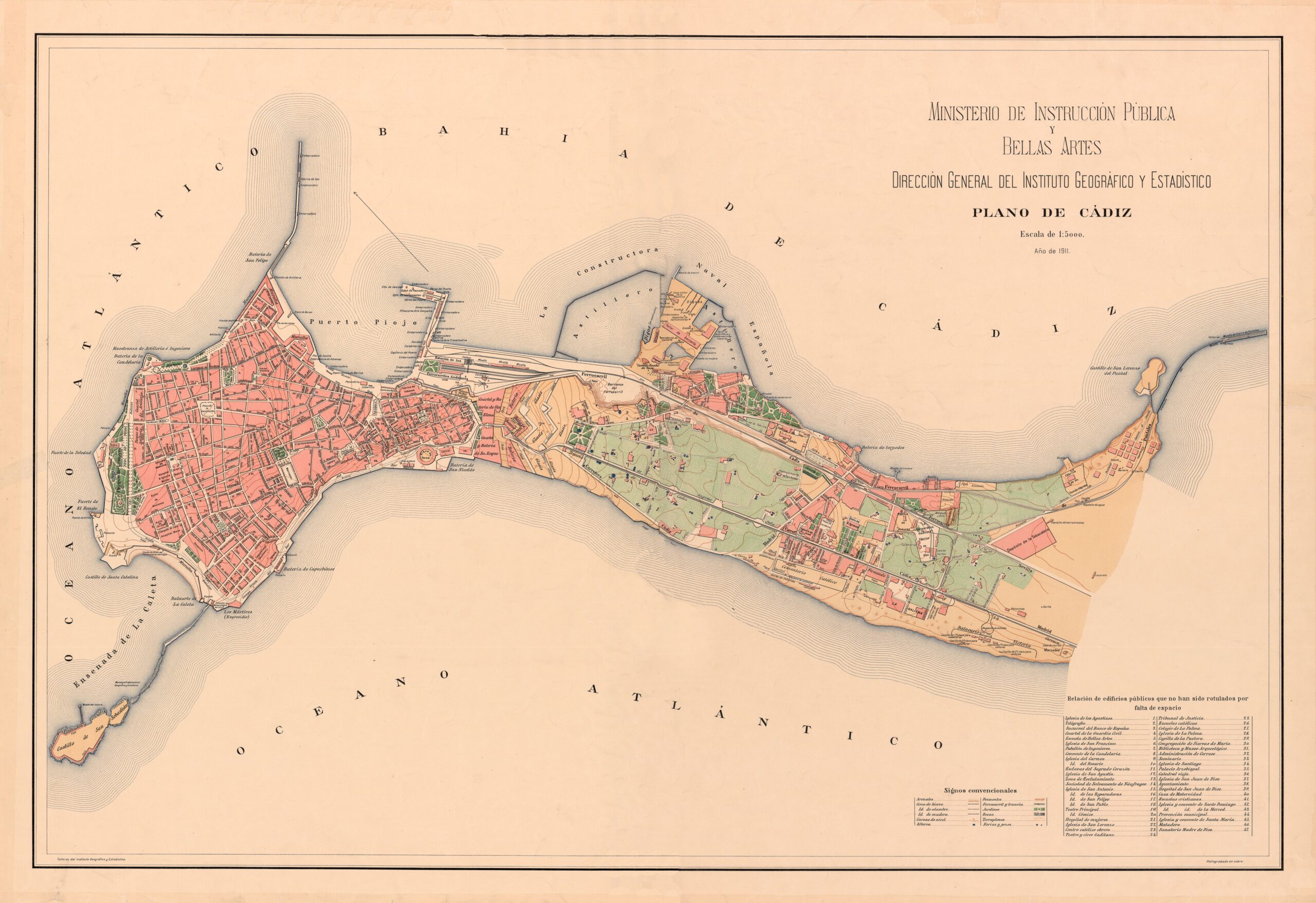
This map of Cádiz was published by the Ministry of Public Instruction and Fine Arts, under the direction of the Geographical and Statistical Institute, in 1911.
The map shows how, even in 1911, most of Cádiz's population was still concentrated in the old town, while the rest of the city had a scattered population. The map shows the railway line at the top, as well as the tram lines throughout the city, which had begun operating in 1906.
On Victoria Beach, in the lower right-hand corner, is the Balneario de la Victoria, which was in operation between 1907 and 1931. The Balneario de la Palma, on Caleta Beach, would not begin construction until 1926, so it does not appear on this map.
Sources

