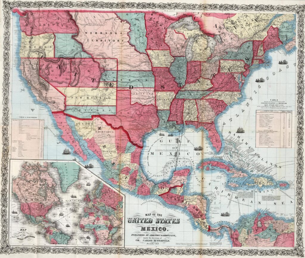
This map, published by Johnson & Browning under the direction of Carlos Butterfield, shows the political situation in the United States and Central America in 1859.
In the United States, there are several regions that have not yet been consolidated into states of the union, such as the Nebraska Territory and Dakota.
In Central America, it is worth noting that the map shows the department of Veracruz as independent from the rest of Guatemala, despite the fact that Veracruz has been part of Guatemala since independence in 1825.
Sources

