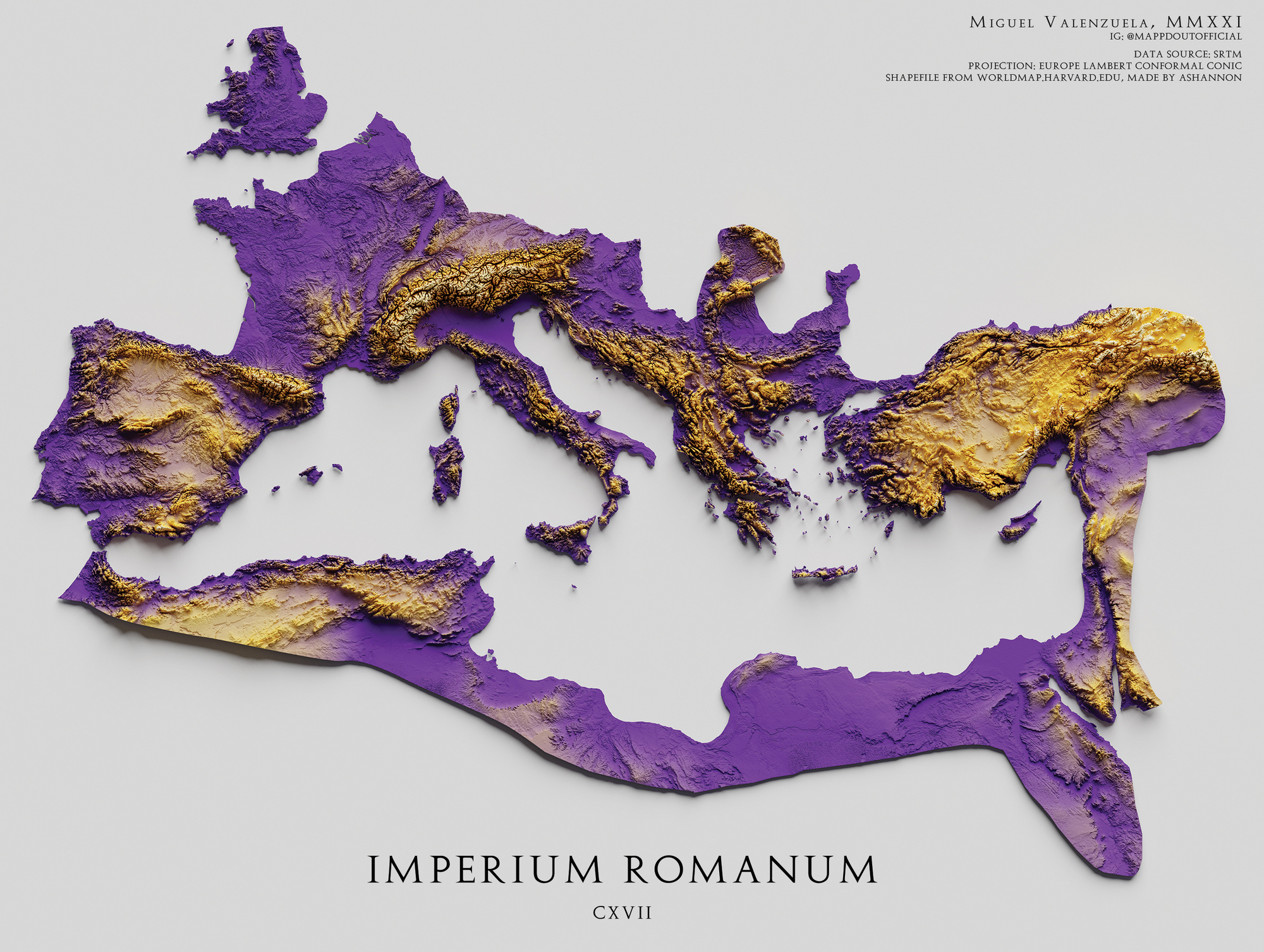
This map, created by Miguel Valenzuela, shows the extent of the Roman Empire in the year 117.
The map uses a Lambert conformal projection and depicts the relief of the areas occupied by the empire using two colours: purple for low-lying areas and yellow for high-lying areas. The author also uses shading to highlight steep areas.
Sources
- Roman Empire Relief Map | Printable Decor
- A printable shaded relief map of the Roman Empire in the year 117 AD

