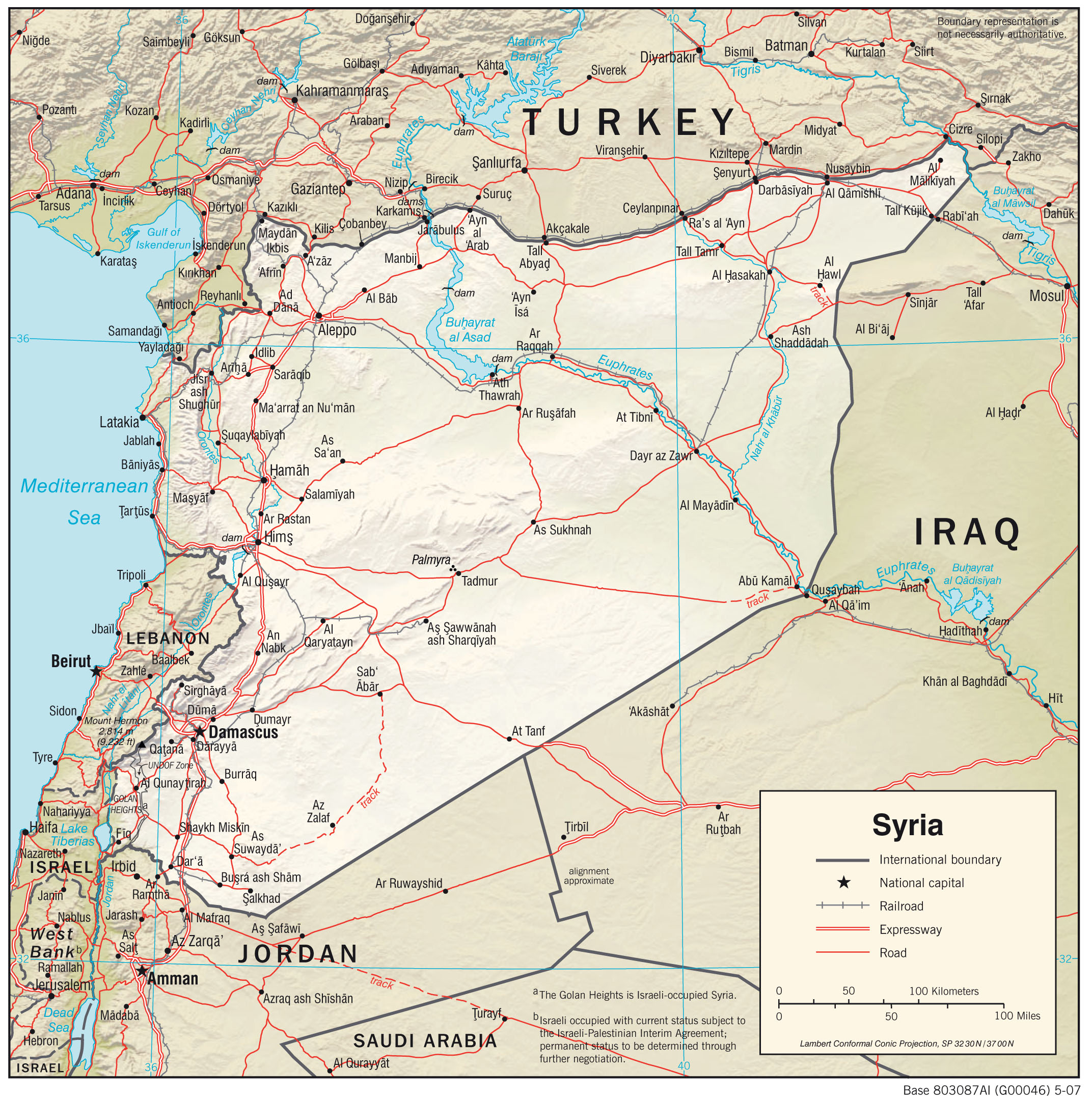
This map of Syria was edited by the CIA in 2007 and is currently held in the cartographic collection at the Perry-Castañeda Library (PCL) at the University of Texas at Austin, USA.
The map shows the main cities of the Asian country, as well as how they are interconnected by roads in red and railways in black. Rivers and lakes are shown in blue.
Sources

