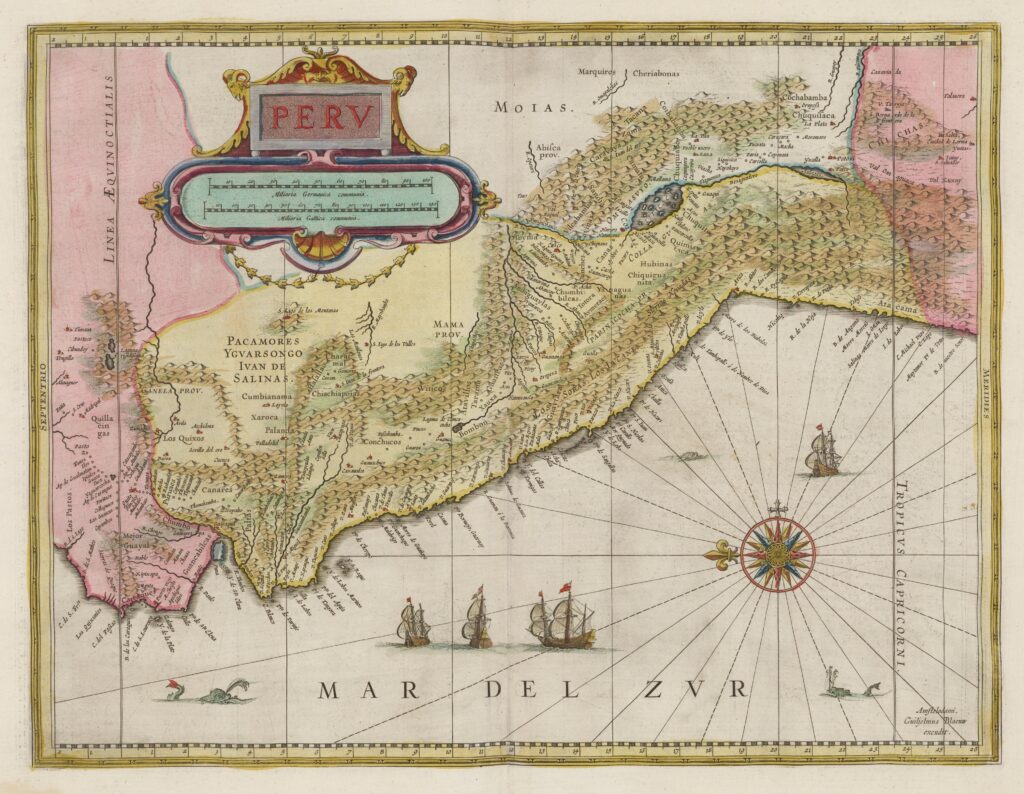
This map was published in 1662 by Joan Blaeu as part of the eleventh volume of his Atlas Maior, dedicated to America.
Despite the title of the map, Peru, Blaeu did not seek an administrative and political representation of the territory, but merely showed the land known as Peru in the Dutch cartographic tradition. Much of the toponymy is in Spanish, indicating that Blaeu had as his main sources geographical and cartographic documents of Hispanic origin. As a result, the map covers under the label Peru, in yellow, the southern part of present-day Ecuador, much of Peru, and the extreme north of Chile.
The map has the peculiarity of being oriented with the east at the top, so that the Pacific Ocean, called the South Sea on the map, occupies the lower part. Blaeu also devotes a lot of space to the Andean mountain ranges, which stretch from north to south across the map. Beyond the Andes, to the east, Amazonia is not depicted, reflecting the lack of knowledge that still existed in the second half of the 17th century about the interior of the continent.
Sources

