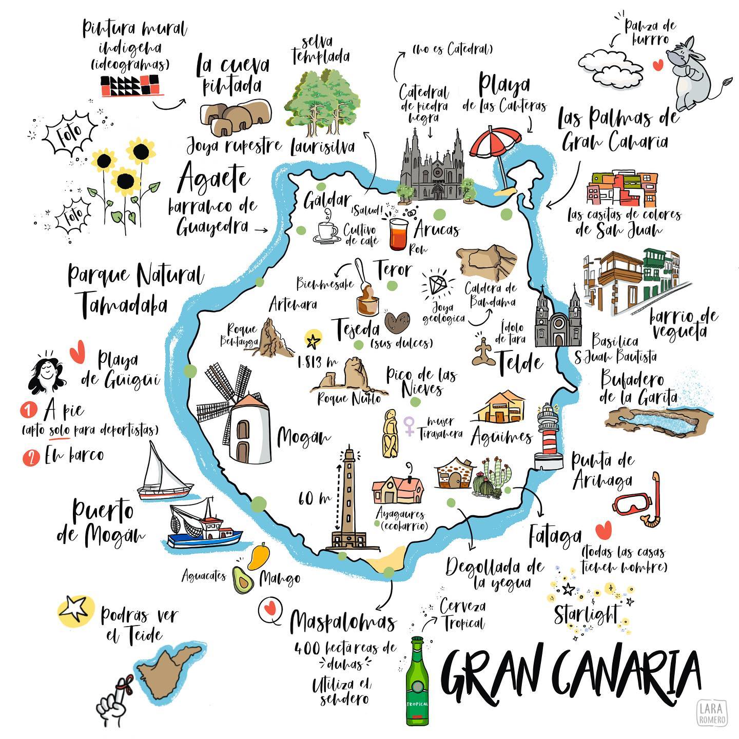
This illustrated map, published by Lara Romero in 2021, shows the island of Gran Canaria in the Canary Islands.
The map incorporates the most characteristic details of the island: the Guanche archaeological heritage, with references to La Cueva Pintada in Gáldar and the Ídolo de Tara in Telde; the natural spaces of the interior, with Roque Nublo and Pico de las Nieves as orographic references; and the most recognisable gastronomic and cultural elements, such as the sweets of Tejeda, the rum of Arucas or Tropical beer. In the north there is also the “panza de burro”, the phenomenon of persistent cloudiness that characterises the microclimate of Las Palmas. One of the most striking annotations is the one that accompanies the Catedral de Piedra Negra in the capital: is not a Cathedral.
Sources

