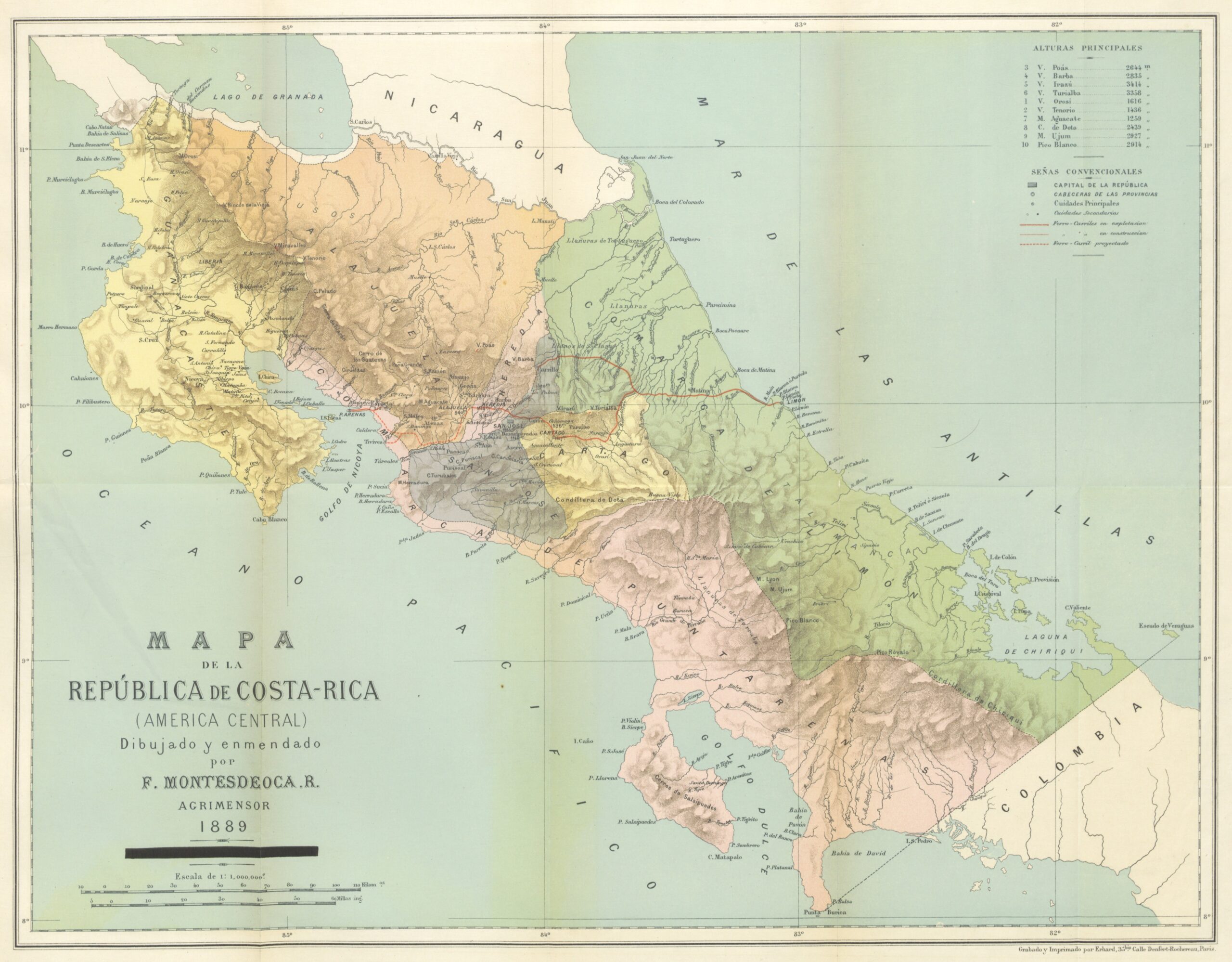
This map, created by Costa Rican cartographer Faustino Montes De Oca Ramírez, was published in 1889.
This is a political map of Costa Rica showing the territorial organisation of the time, with five provinces (San José, Cartago, Heredia, Alajuela and Guanacaste) and two regions (Limón and Puntarenas). Following the territorial reorganisation of 1909, the provincial boundaries were adjusted and the regions of Limón and Puntarenas were upgraded to provinces.
Sources
- Costa Rica and its Future
- 1889 Montes De Oca Ramirez Map of Costa Rica
- Map of the Republic of Costa Rica (Central America), drawn and amended by F. Montesdeoca, 1889

