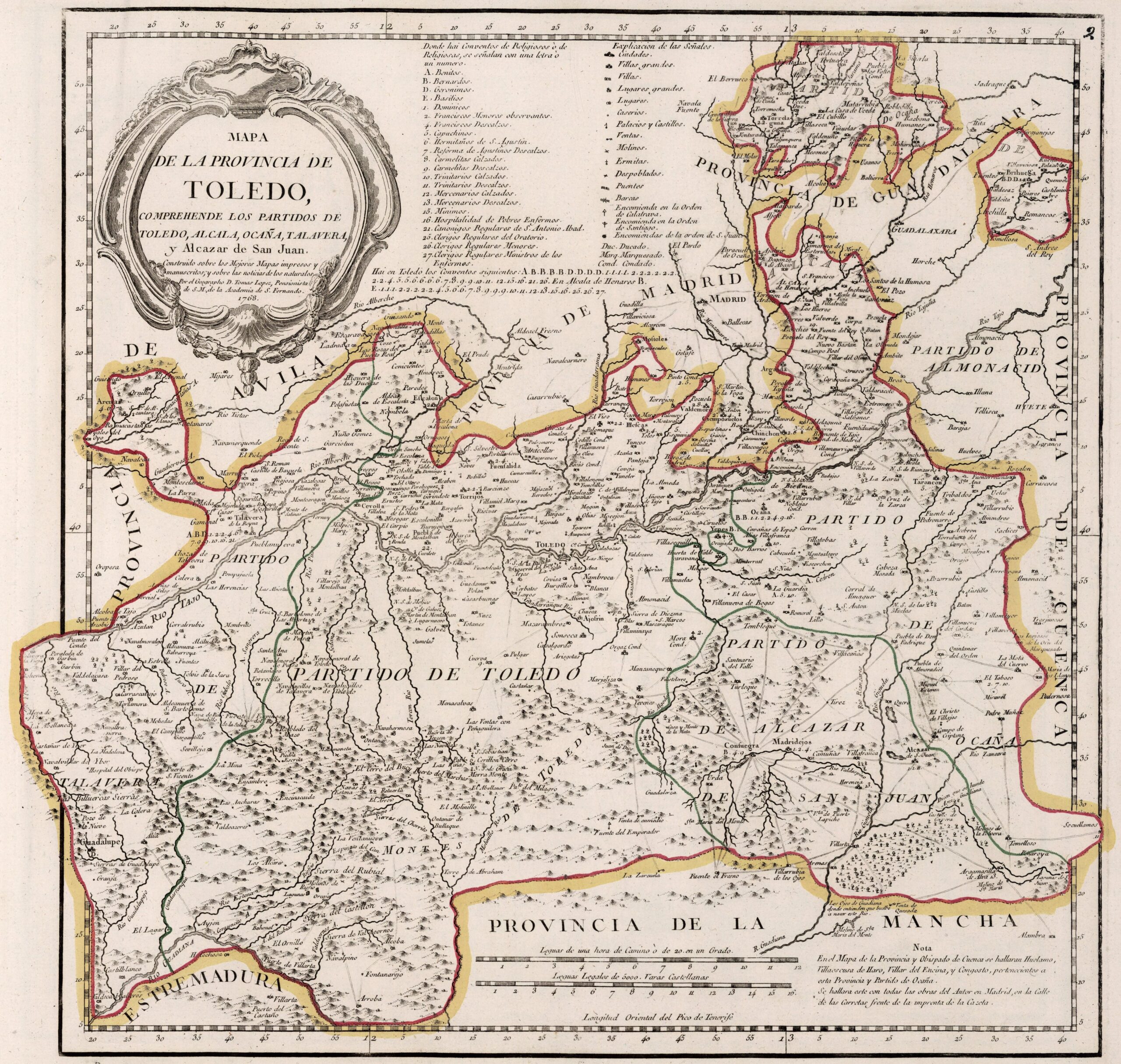
This map was created by Spanish cartographer Tomás López de Vargas Machuca in 1768 and published posthumously by his sons in the «Geographical Atlas of Spain» from 1804. The map depicts the province of Toledo with the territorial boundaries prior to the provincial administrative reform carried out by Javier de Burgos in 1833.
The ancient province of Toledo bordered the northwest with the province of Ávila, to the north with the province of Madrid, to the northeast with the Guadalajara province, to the east with the province of Cuenca, to the south with the province of La Mancha and to the south-west with the province of Extremadura.
The province is divided into five judicial districts: Talavera, Toledo, Alcázar de San Juan, Ocaña and Alcalá. It was larger than it is today, including the territory around Alcalá de Henares and the entire south of Madrid, part of the south-east of the current province of Ávila and some towns that now belong to the provinces of Badajoz, Cáceres and Ciudad Real.
You can read more about Tomás López and his atlas in this article from the newsletter: Tomás López and the first detailed atlas of Spain (1804).
Sources

