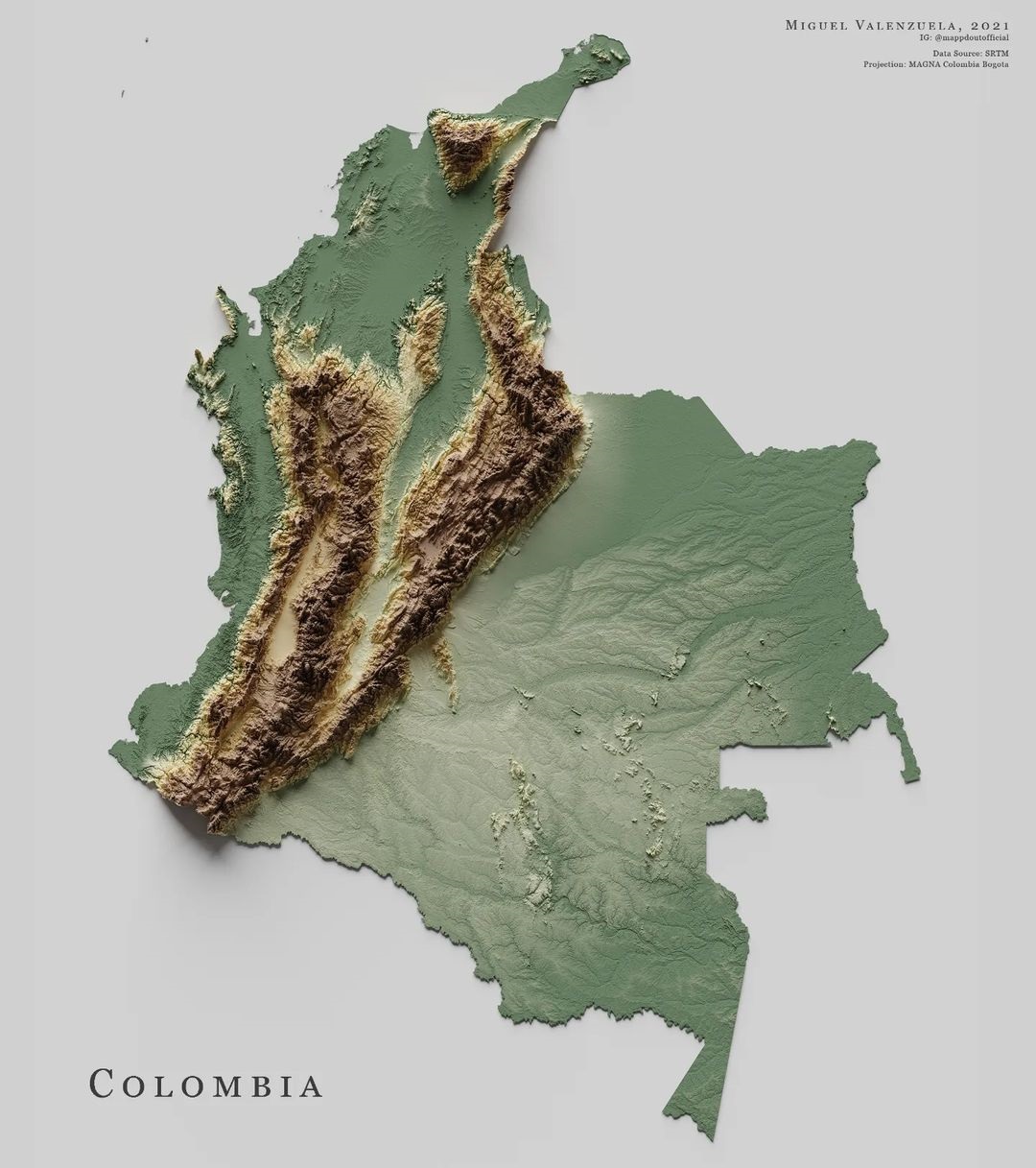
This map, created by Miguel Valenzuela, shows the relief of Colombia. To do this, it uses two colours: green for low-lying areas and brown for high-lying areas. The author also uses shading, which highlights the steep areas.
Sources


This map, created by Miguel Valenzuela, shows the relief of Colombia. To do this, it uses two colours: green for low-lying areas and brown for high-lying areas. The author also uses shading, which highlights the steep areas.