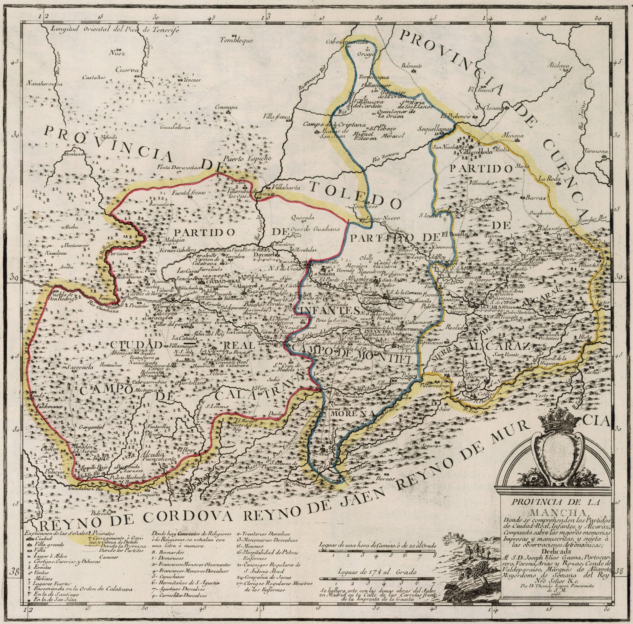
This map was created by Spanish cartographer Tomás López de Vargas Machuca in 1765 and published posthumously by his sons in the «Geographical Atlas of Spain» from 1804. The map depicts the former province of La Mancha, which disappeared after Javier de Burgos's reform of the provincial administration in 1833.
The former Province of La Mancha bordered to the north with the province of Toledo and the province of Cuenca, to the southeast with the Kingdom of Murcia, to the south with the Kingdom of Jaén and the Kingdom of Córdoba and to the west with the province of Extremadura.
The map shows the three judicial districts that made up the province in different colours: Ciudad Real, Infantes and Alcaraz. After Javier de Burgos's reform, most of the territory would become part of the new provinces of Ciudad Real and Albacete.
You can read more about Tomás López and his atlas in this article from the newsletter: Tomás López and the first detailed atlas of Spain (1804).
Sources

