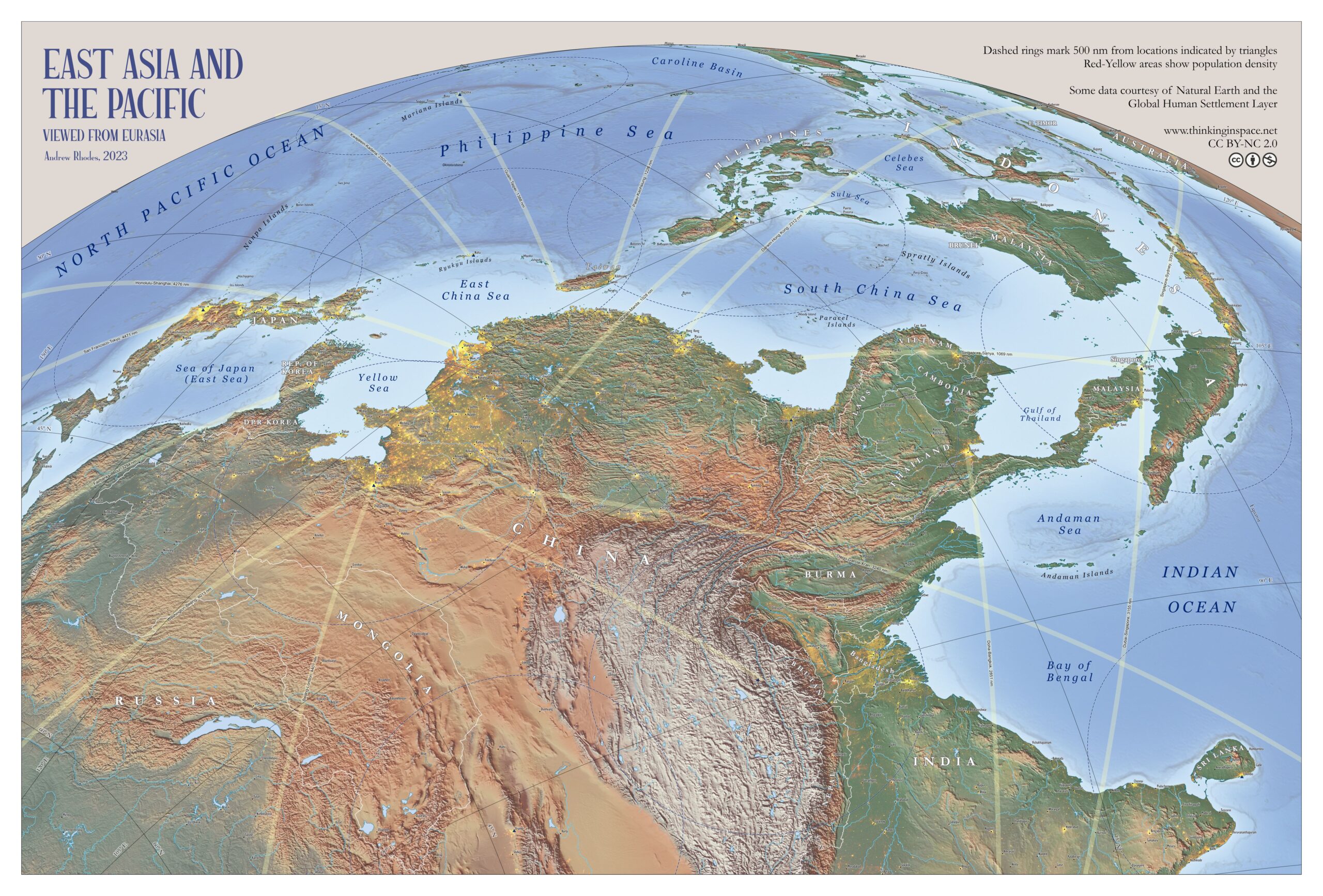
This illustration, created by Andrew Rhodes in 2023, depicts East Asia as seen from Eurasia.
This is a physical map that uses a perspective inspired by the work of Richard Edes Harrison. This cartographer used this type of perspective during World War II and the Cold War to convey the proximity and isolation that some regions can have depending on the perspective used. In the case of this map of Rhodes, the great geographical wall that China has to the west, with Tibet and Mongolia, is evident, highlighting the importance of expanding its influence towards the Pacific Ocean.
In addition, the map also includes references to major cities, as well as yellow dots that help show areas of high population density, notably Japan, Bangladesh, and the Chinese plains near Beijing and Shanghai.
Sources

