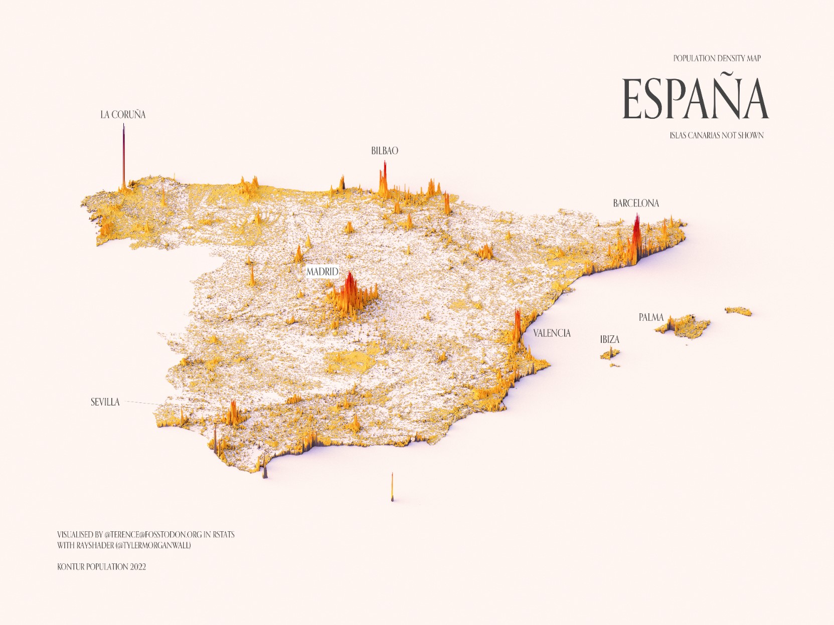
This illustration, created by Terence Teo, represents the population density of Spain (excluding the Canary Islands) on a three-dimensional map. To do this, Terence extracted the data available at Kontur Population with which it generates columns using a programme, with a height that represents the population density at each point.
This map of Spain quickly shows that the highest population density is found around the capital, Madrid, and in coastal areas, with notable peaks in Barcelona, Bilbao, and Valencia. The highest peaks are found in the city of La Coruña, which is related to the methodology used by Kontur to define population density, as explained in fifteen thousand.
Sources

