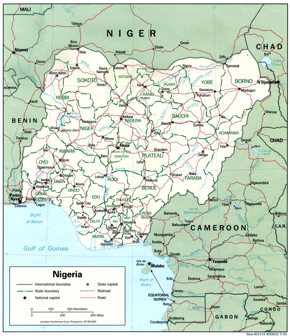
This map of Nigeria was published by the CIA in 1993 and is currently held in the map collection at the Perry-Castañeda Library (PCL) at the University of Texas at Austin, United States.
The map shows the 36 states of the African country, divided by green lines. Roads are shown in red and rivers in blue.
Sources

