Physical and political map of Slovenia (2000)

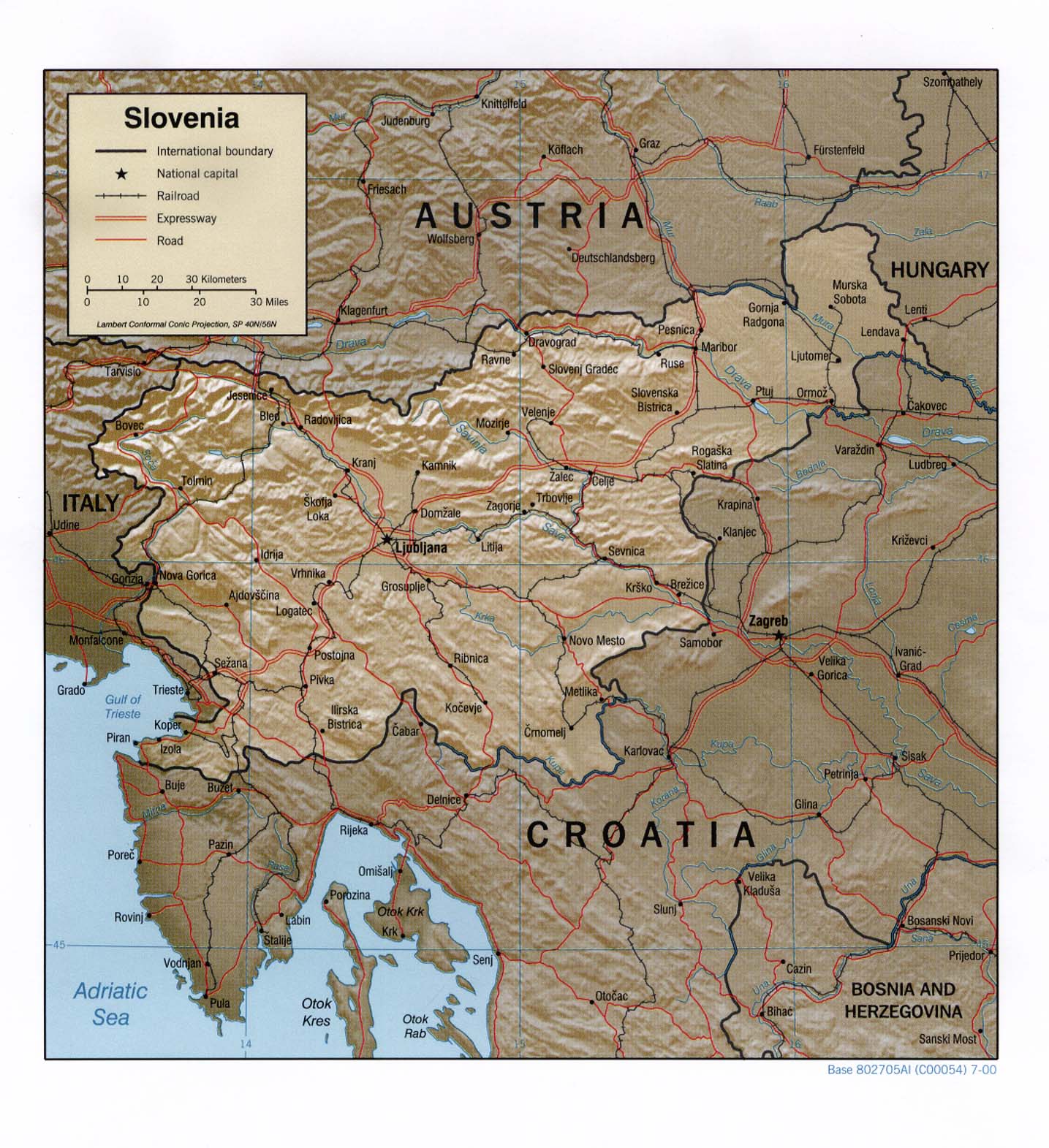
This map of Slovenia was edited by the CIA in 2000 and is currently held in the cartographic collection at the Perry-Castañeda Library (PCL) at the University of Texas at Austin, USA.

The map shows the extent of the European country, with roads in red, railway lines in black and rivers in blue.

Sources


If you like maps, don't hesitate to sign up for the newsletter (Spanish o English) and collaborate with the project. With the subscription, completely free of charge, you can have access to all the maps in the catalogue in high resolution.

Milhaud Maps Newsletter Newsletter A Cartographer's Tale