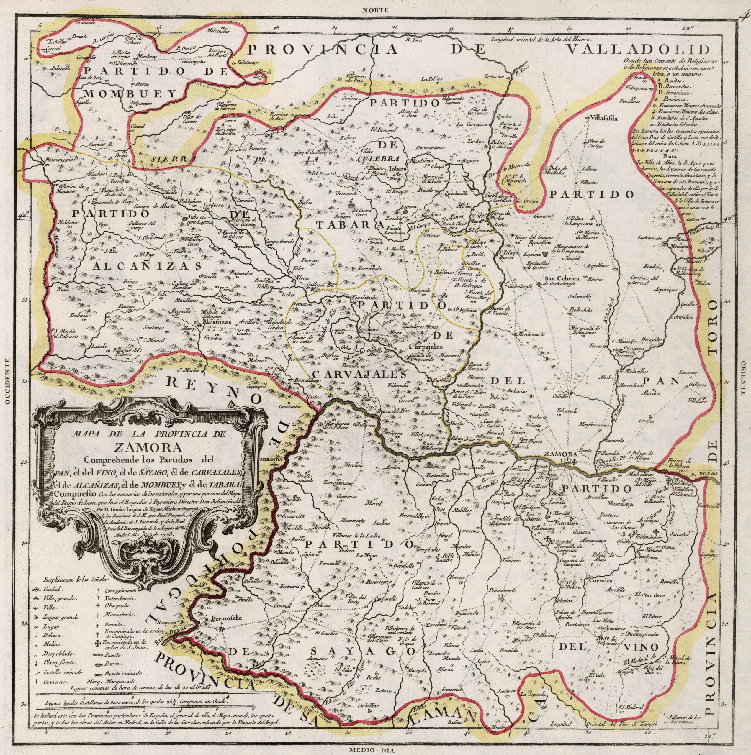
This map was created by Spanish cartographer Tomás López de Vargas Machuca in 1773 and published posthumously by his sons in the “Geographical Atlas of Spain”of 1804. The map depicts the Province of Zamora with the territorial limits before the reform of the provincial administration by Javier de Burgos in 1833.
The former Province of Zamora was bordered to the north by the Province of Valladolid, to the east with the Province of Toro, to the south with the Province of Salamanca and to the west with the Kingdom of Portugal.
The province was divided into seven districts: Partido del Pan, Partido del Vino, Partido de Sayago, Partido de Carvajales, Partido de Tabara, Partido de Alcañizas and Partido de Mombuey.
The extension of Zamora was less extensive than it became after the reform of Javier de Burgos, when it obtained territory from the Province of Toro and the Province of Valladolid.
You can read more about Tomás López and his atlas in this article from the newsletter: Tomás López and the first detailed atlas of Spain (1804).
Sources

