Relief map of Guatemala, by Miguel Valenzuela (2021)

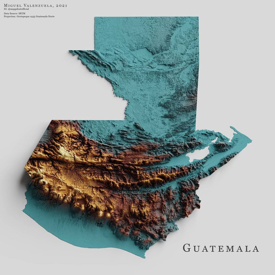
This map, created by Miguel Valenzuela, shows the relief of Guatemala. It uses three colours: blue for low-lying areas, brown for areas of medium altitude, and yellow for high peaks. In addition, the author uses shading to highlight steep areas.

Sources


If you like maps, don't hesitate to sign up for the newsletter (Spanish o English) and collaborate with the project. With the subscription, completely free of charge, you can have access to all the maps in the catalogue in high resolution.

Milhaud Maps Newsletter Newsletter A Cartographer's Tale