Relief map of Greece, by Miguel Valenzuela (2021)

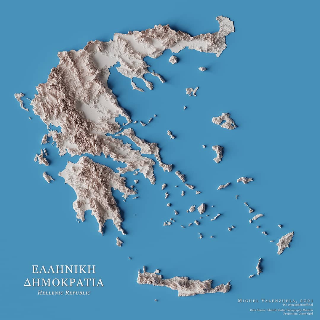
This map, created by Miguel Valenzuela, shows the relief of Greece. To do this, he uses a range of whites to represent the different altitudes, as well as blue to mark the background, simulating the country's flag. The author also uses shading, which highlights the steep areas.

Sources


If you like maps, don't hesitate to sign up for the newsletter (Spanish o English) and collaborate with the project. With the subscription, completely free of charge, you can have access to all the maps in the catalogue in high resolution.

Milhaud Maps Newsletter Newsletter A Cartographer's Tale