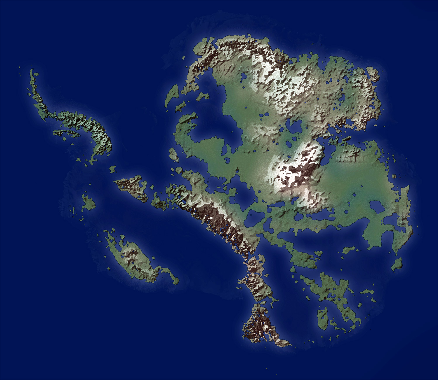
This map, created by Memtgs for Wikimedia Commons, shows what the surface of Antarctica would look like if we removed all the ice that currently covers it.
This result only represents what would happen if we removed the ice overnight and observed which part of the land remains above sea level.
In reality, if all the ice in Antarctica melted, two processes would combine to substantially alter the morphology. On the one hand, the land beneath the Antarctic ice would no longer bear the weight of millions of tonnes of ice and would begin to rise in height. This is something that can currently be observed in Norway (following the retreat of glaciers over the last few millennia).
On the other hand, if all that ice melted, sea levels would rise by about 60–70 metres, which would also alter the amount of land that would remain above water.
In the newsletter, I discussed the discovery and conquest of Antarctica., You can read it here..
Sources

