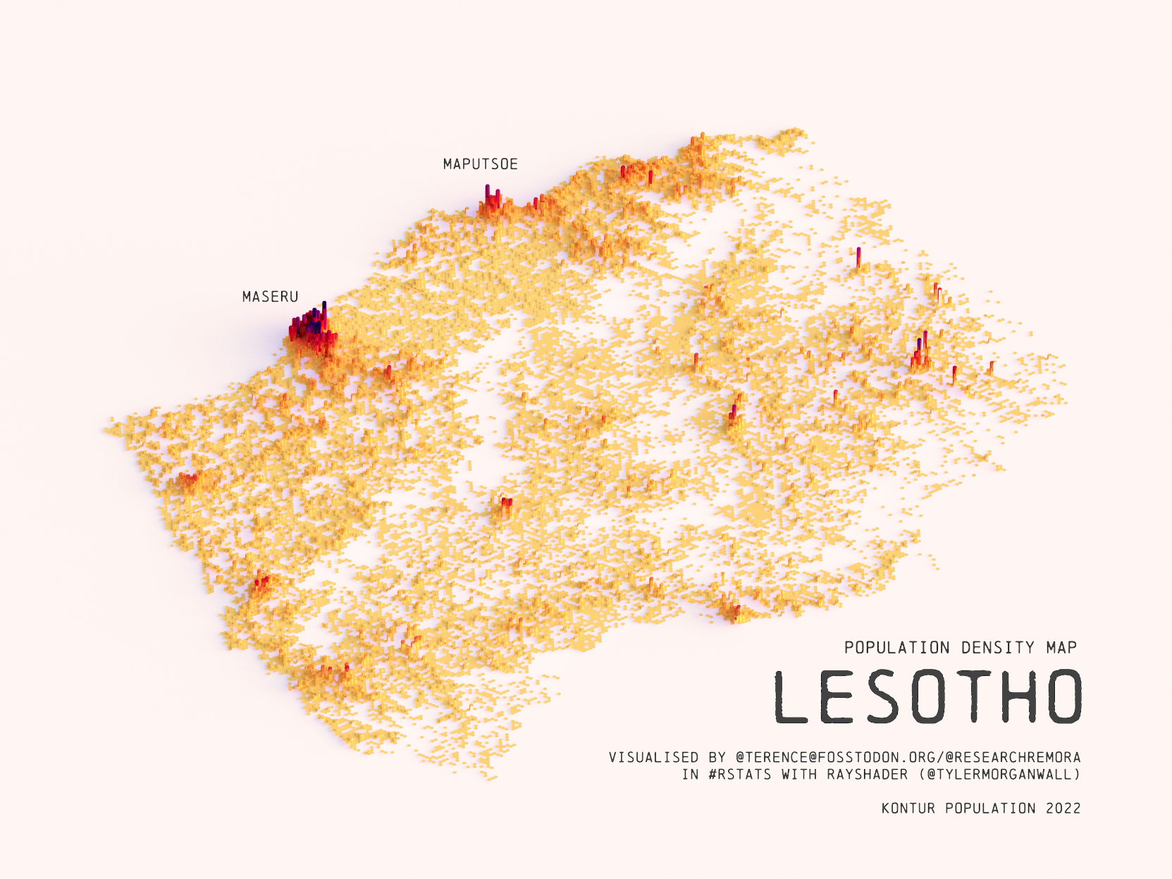
This illustration, created by Terence Teo, depicts Lesotho’s population density on a three-dimensional map. To do this, Terence has extracted the data available at Kontur Population, which it uses to generate, via a programme, columns whose height represents the population density at each point.
This map of Lesotho shows the distribution of the population across the country, with only 26 % of the population living in urban areas. Of these, half live in the capital, Maseru.
Sources


 Español
  English (UK)