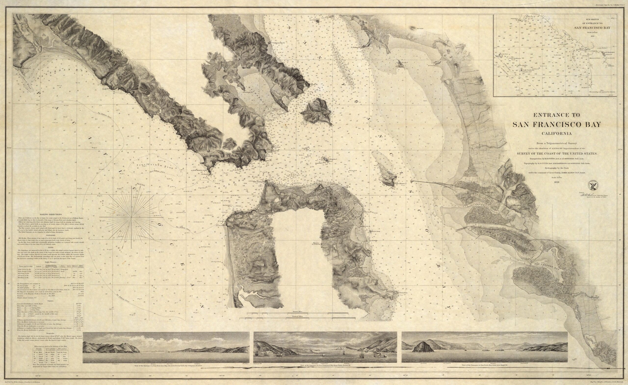
This map, published in 1859 by the United States Coast Survey, shows the entrance to San Francisco Bay. The map has a clear nautical use, as evidenced by the presence of barometric contours that help to determine the depth at each point.
The map shows several towns, such as San Francisco, on the peninsula south of the bay entrance; Sausalito, on the northern peninsula; and Oakland and Alameda, on the east coast of the bay.
Alcatraz Island, in the centre of the bay, only had a lighthouse when the prison was established in 1934. The entrance to the bay, already known as the Golden Gate, did not yet have the iconic bridge connecting the two peninsulas, as its construction was not completed until 1937.
Sources

