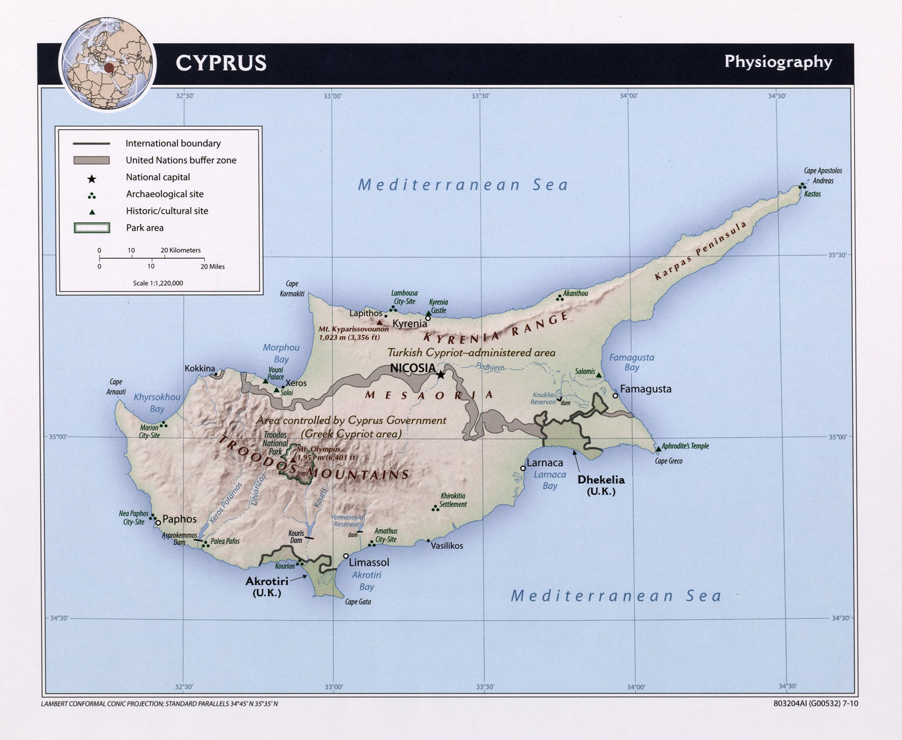
Este mapa de Chipre fue editado por la CIA en 2010 y actualmente se mantiene en la colección cartográfica en la Perry-Castañeda Library (PCL) de la Universidad de Texas en Austin, Estados Unidos.
El mapa muestra la situación política de Chipre, dividido de facto en dos países, Chipre al sur y Chipre del Norte, al norte, con un reconocimiento internacional muy limitado.
Sources


 Español
 English (UK)