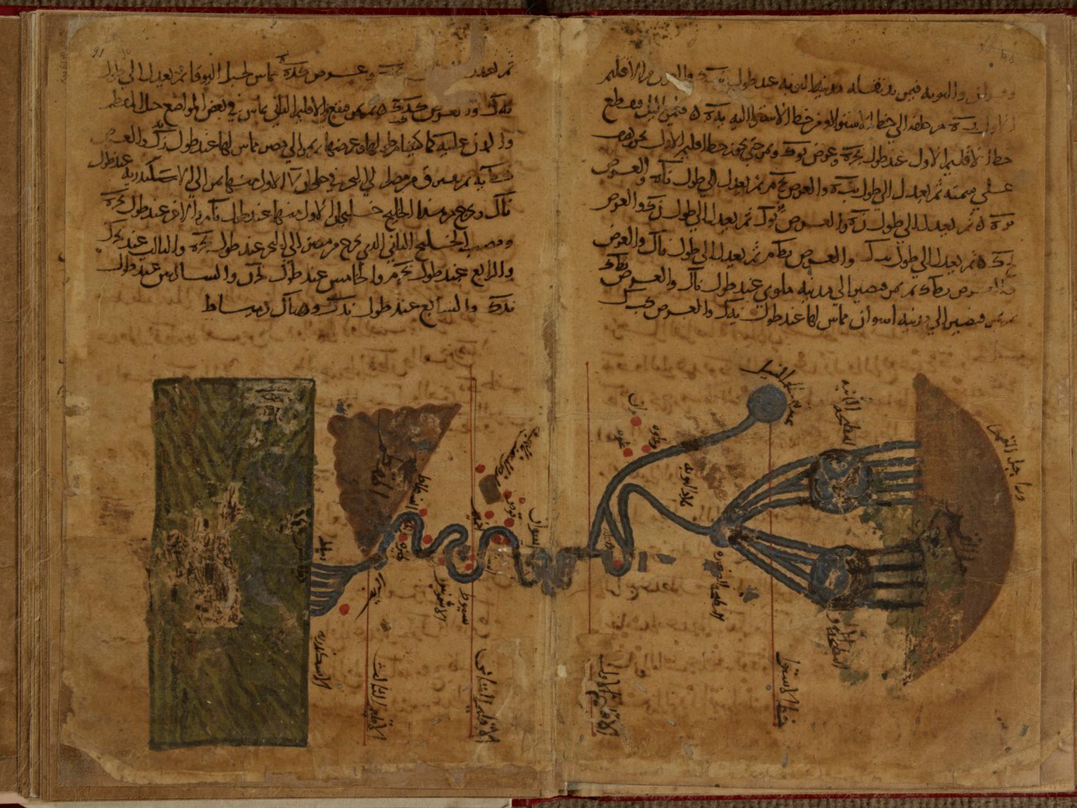
This map is the oldest preserved representation of the Nile River, by Muḥammad ibn Mūsā al-Khwārizmī. It was included in his work Kitāb al-Taʾrīkh, and although no original copies from the 11th century have been preserved, this copy made in 1036 has survived to the present day.
The illustration is oriented with east at the top of the map, so that the Nile River flows from right to left, from the Ethiopian Massif, where the river was believed to originate at that time, to the Mediterranean Sea.
This copy is currently kept at the National and University Library of Strasbourg, France.
Sources
- Earliest extant map of the Nile, in al-Khwārazmī’s Kitāb ṣūrat al- arḍ
- Manuscripts from the National and University Library of Strasbourg

