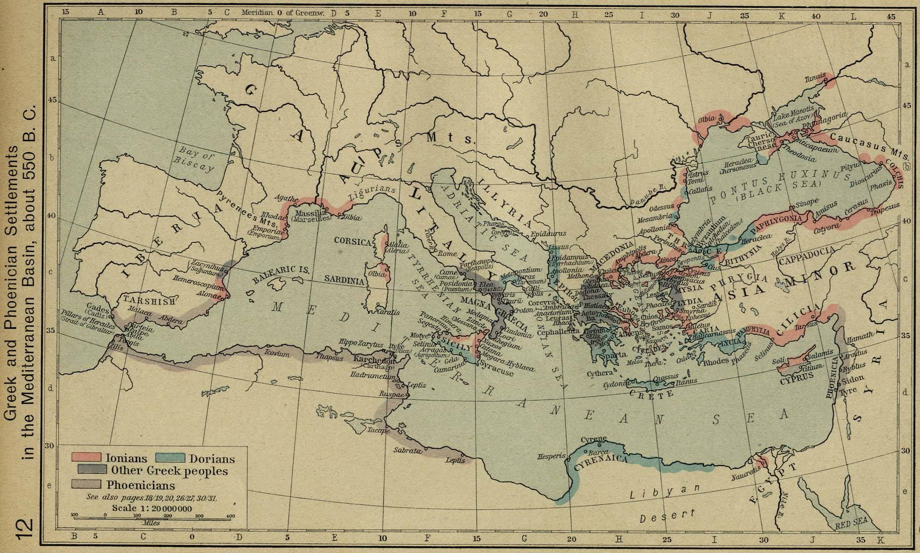
This map, published by William Shepherd in his Historical Atlas from 1926, shows the various Greek and Phoenician settlements and colonies along the coasts of the Mediterranean Sea around 550 BC.
This map shows the area occupied by the powers of the time:
- Ionian Greeks
- Dorians
- The rest of the Greeks
- Phoenicians
Sources
- Historical Map of Greek and Phoenician Settlements in the Mediterranean Basin, circa 550 BC
- Perry-Castañeda Library Map Collection – Historical Atlas by William R. Shepherd

