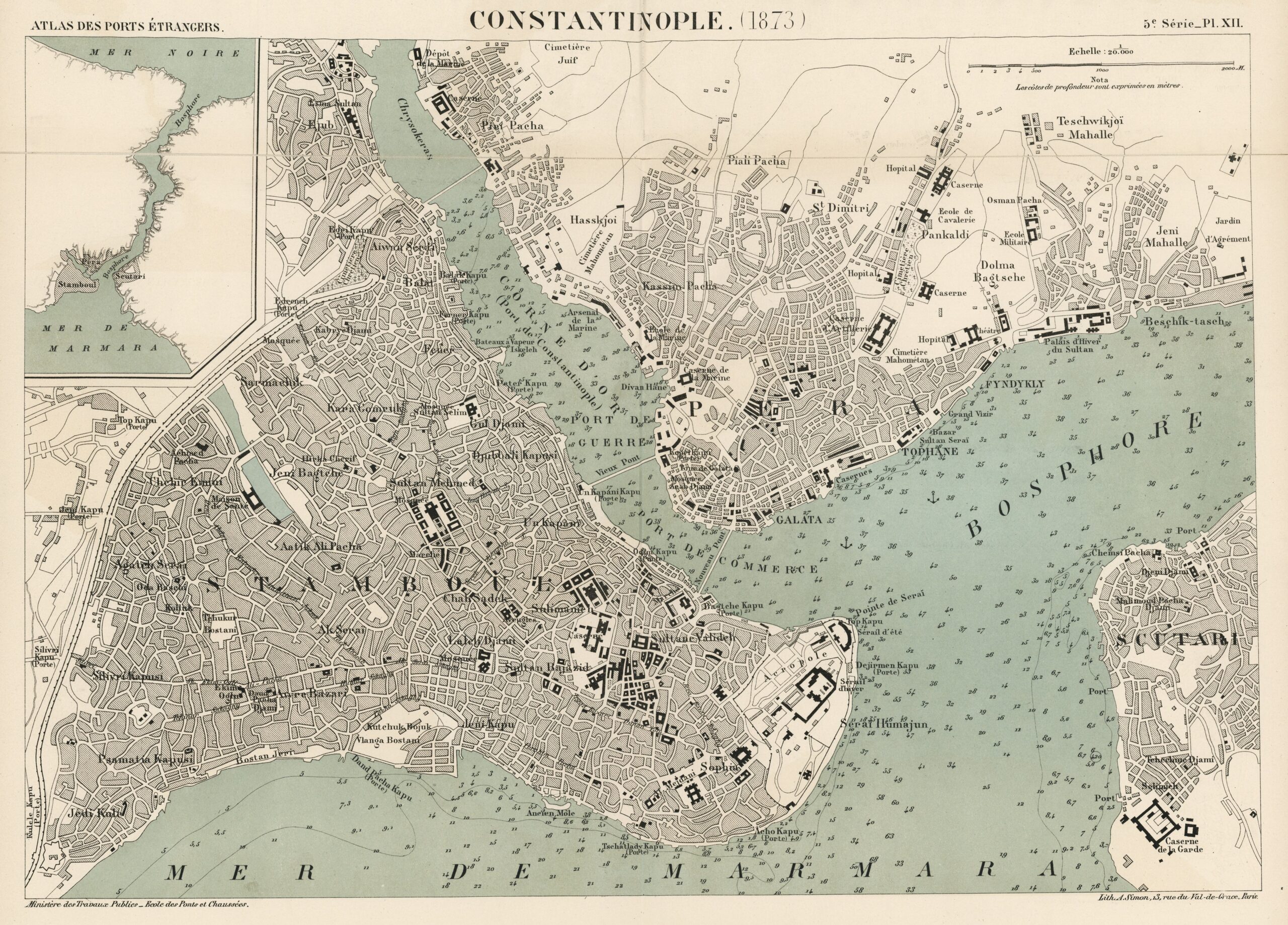
This map of Constantinople (now Istanbul) from 1873 was produced by the French National School of Bridges and Roads. In 1890, it was also part of the Atlas of foreign ports, an atlas published by the French Ministry of Public Works compiling the most important foreign ports.
The map shows the large size and complexity of Constantinople. The city is divided into three parts by the Bosphorus Strait on the right and the Golden Horn estuary on the top left. These three parts are labelled with the names by which these districts of the city were known to Europeans in the 19th century:
- Stamboul (Istanbul): The historic European part of the city, surrounded by the Sea of Marmara to the south, the Bosphorus Strait to the east, and the Golden Horn estuary to the north.
- Scutari (Üsküdar): The Asian side of the city, surrounded by the Bosphorus Strait to the west and the Sea of Marmara to the south.
- Pera (Beyoğlu): The new European part of the city, surrounded by the Golden Horn estuary to the south and the Bosphorus strait to the east.
In maritime areas, the map also includes bathymetric measurements, showing the depth of the water in metres at each point.
Sources

