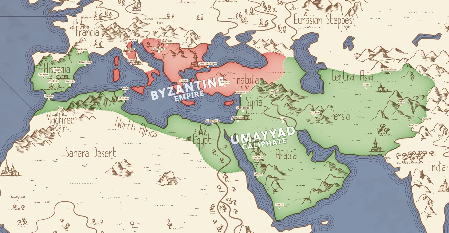
This map, created by a Reddit user, shows the territory controlled by the Umayyad Caliphate and the Byzantine Empire in the year 744.
At its maximum extent, the Umayyad Caliphate occupied nearly 15 million square kilometres, one tenth of the Earth's surface. After several internal wars during the caliphate of Marwan II, the empire's power gradually weakened until, with Marwan's death, it fell apart, bringing an end to the largest Islamic empire in history.
The Byzantine Empire, meanwhile, existed until the mid-15th century. Although it never reached a size comparable to that of the Umayyad Caliphate, it did have a remarkable influence on the history of Europe and the Middle East throughout the Middle Ages.
Sources

