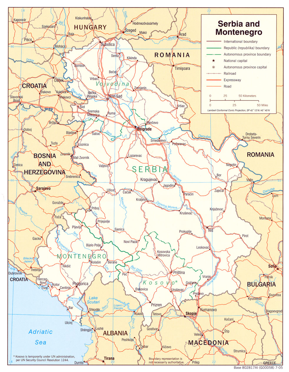
This map of Serbia and Montenegro was published by the CIA in 2005 and is currently held in the cartographic collection at the Perry-Castañeda Library (PCL) at the University of Texas at Austin, United States.
The map shows the two republics of the federation, Serbia and Montenegro, separated by a green line. Within Serbia, its two autonomous provinces, Kosovo and Vojvodina, are also shown with a green dotted line. In addition, the map also shows roads in red, railways in brown and rivers in blue.
The map was published a year before the end of the federation, which took place in June 2006 with the independence of Montenegro. Two years later, in February 2008, Kosovo also unilaterally declared its independence, which was not recognised by Serbia.
Sources

