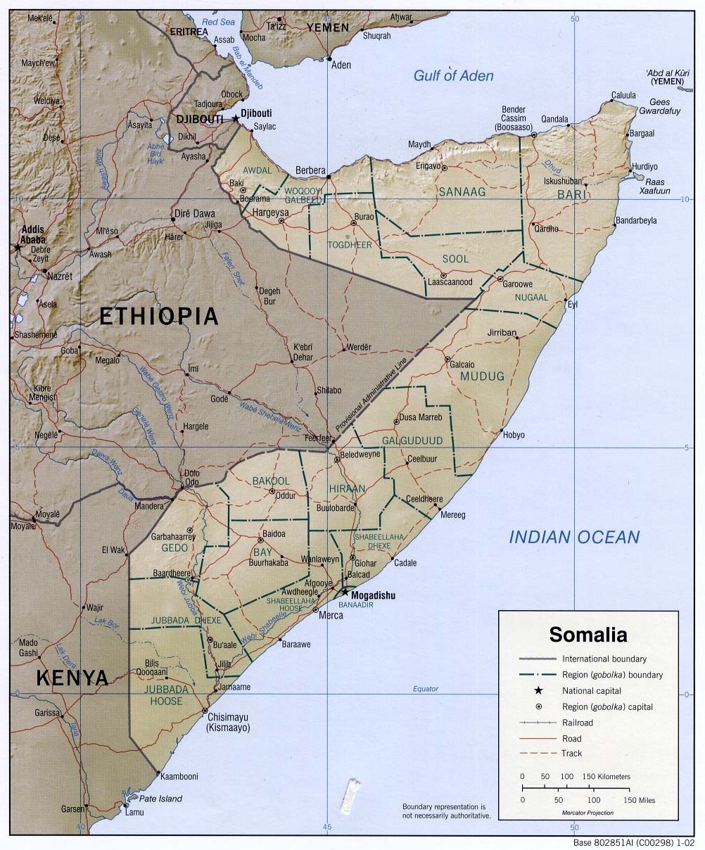
This map of Somalia was published by the CIA in 2002 and is currently held in the cartographic collection at the Perry-Castañeda Library (PCL) at the University of Texas at Austin, United States.
The map shows the different regions of the African country, represented in dark blue; roads, in red; and rivers, in blue.
Sources

