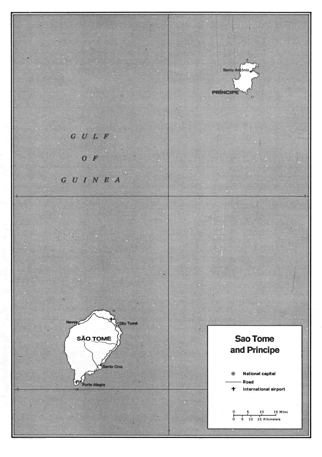
This map of São Tomé and Príncipe was published by the CIA in 1991 and is currently held in the cartographic collection at the Perry-Castañeda Library (PCL) at the University of Texas at Austin, United States.
The map shows the two islands that make up the country in black and white, and marks the main roads with black lines.
Sources

