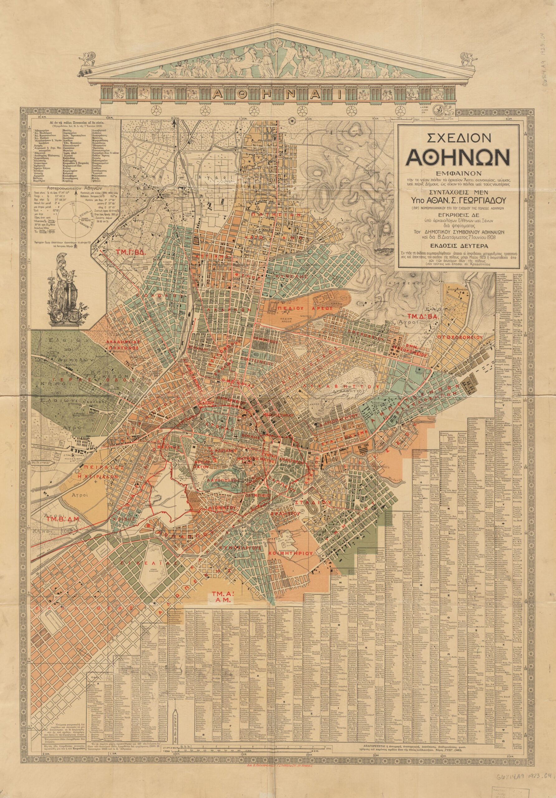
This map of Athens was drawn up in 1908 by Athan. S. Geōrgiadēs, an engineer in charge of the city's urban planning.
The map shows the new districts of the city of Athens marked in different colours. Furthermore, despite having been published in 1908, the map includes all the urban development proposals for the city up to 1923. This is evident in how many streets in the new neighbourhoods, in the more peripheral areas, have no names.
On the map, you can also see in the centre and to the left, in red, the location of the Long Walls, a walled system in Athens that in ancient times connected the city with the port of Piraeus, and which were destroyed by Sparta in 404 BC.
Sources

