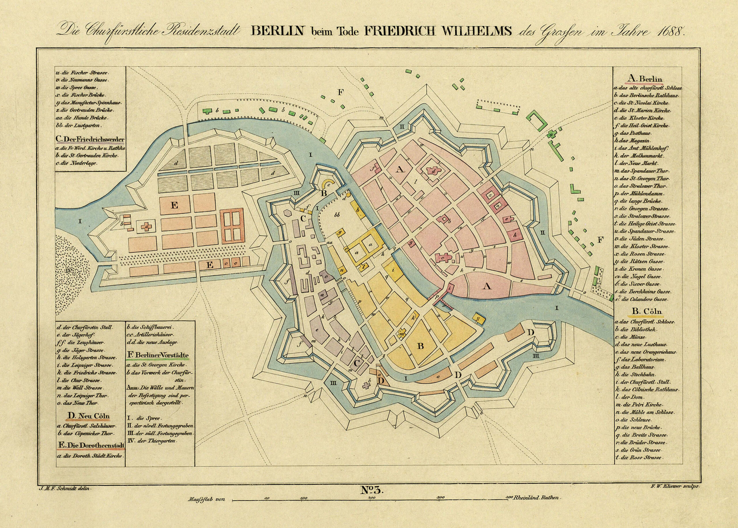
This map, drawn by Johann M. F. Schmidt and published in 1835 in the Historical Atlas of Berlin, from 1415 to 1800, shows the extent of Berlin and its twin city Cölln in the year of the death of Frederick William, Elector of Brandenburg and Duke of Prussia between 1640 and 1688.
The map shows various settlements that are now all part of Berlin:
- A (red): Berlin
- B (yellow): Cölln
- C (purple): Der Friedrichswerder
- D (orange): Neu Cölln
- E (orange): Die Dorotheendstadt
- F (green): Berlin suburbs
The two twin cities and all the surrounding areas were unified in 1710 under the rule of Frederick I of Prussia, taking the name Berlin from that moment onwards.
Sources

