
This map is the first in a collection of maps created by illustrator Heinrich Berann for National Geographic magazine.
Maps of 1969 (4 maps)

Physical and political map of Trinidad and Tobago (1969)
This map of Trinidad and Tobago was published by the CIA in 1969 and is currently held in the collection...

Illustrated map of Mexico City (1969)
This map of Mexico City was published in 1969 by Ladislao Klein. It is an illustrated map...
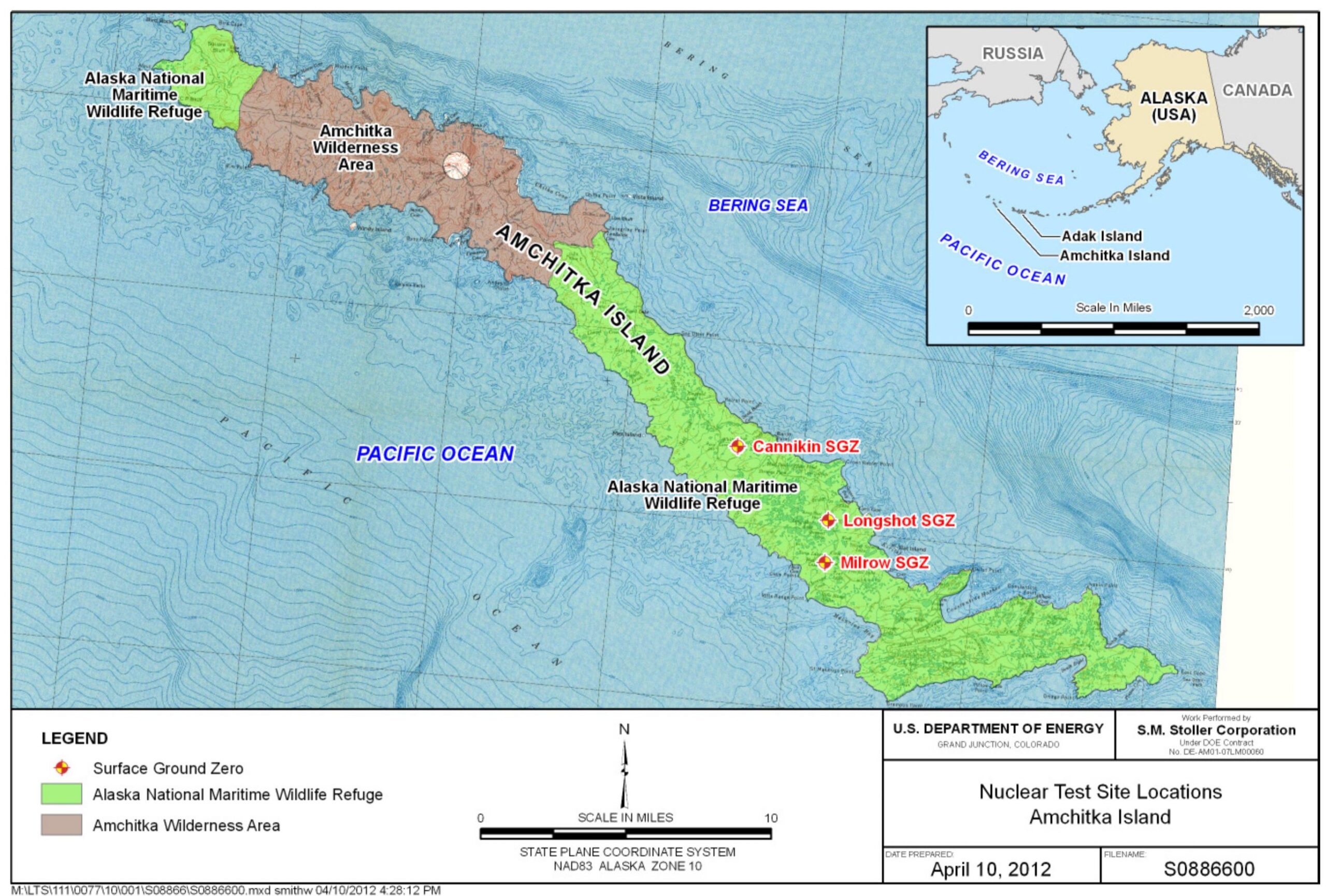
Map of nuclear tests on Amchitka (1965–1971)
This map, published by the United States Department of Energy in 2012,...
 Español
 English (UK)