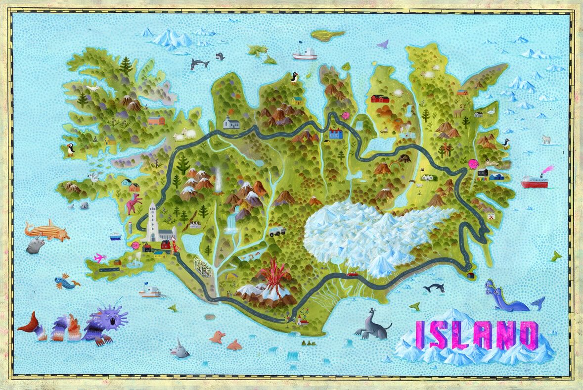
This map, published by the illustrator Robert Deutsch in 2018, Iceland shows.
This is a pictorial map in which the author highlights the country's main tourist attractions, focusing on Hringvegur, the first road to be built in the country and the only one that completely circumnavigates it.
Following the tradition of Olaus Magnus's Carta Marina, The illustration also shows a variety of monsters surrounding the island.
If you would like to read more about pictorial maps, I recommend reading this article.
Sources

