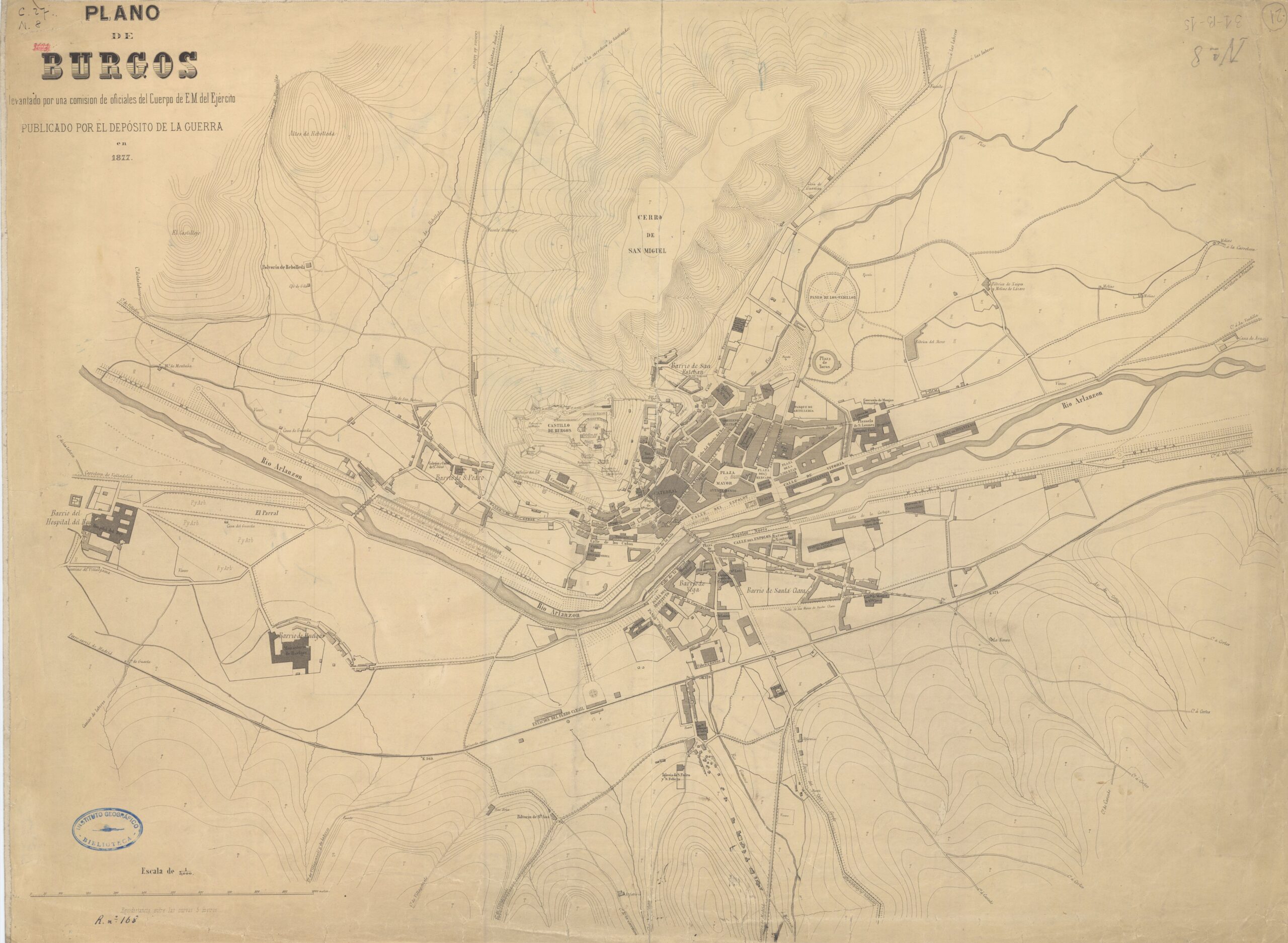
This map of the city of Burgos and its surroundings was published in 1867 by the War Depot, a branch of the General Staff created in 1810 in Spain. The purpose of this body, among others, was to collect and preserve documentation that could be used in military campaigns and actions.
In 1867, Burgos had around 30,000 inhabitants, who were grouped together in the oldest neighbourhoods of the city, including: Barrio de San Esteban, Barrio de San Pedro, Barrio del Hospital del Rey, Barrio de las Huelgas, Barrio de Vega and Barrio de Santa Clara. These historic neighbourhoods do not correspond to those that currently divide the city.
An interesting detail on this map is the location of Burgos Castle, which was already abandoned at this time, although it apparently still had several bastions that are now lost.
Sources

